Plateliai eldership
| Plateliai eldership Platelių seniūnija | |
|---|---|
| Eldership | |
.png) Location in the Plungė District Municipality | |
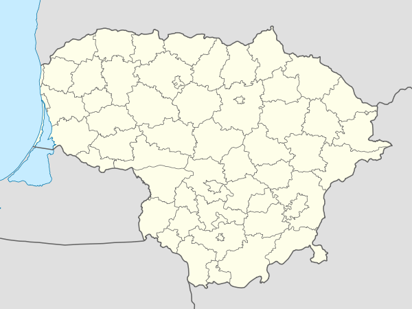 Plateliai eldership Location in Lithuania | |
| Coordinates: LT 56°2′N 21°45′E / 56.033°N 21.750°ECoordinates: LT 56°2′N 21°45′E / 56.033°N 21.750°E | |
| Country |
|
| County | Telšiai County |
| Municipality | Plungė District Municipality |
| Seat | Plateliai |
| Area[1] | |
| • Total | 136.5 km2 (52.7 sq mi) |
| Population (2011)[2] | |
| • Total | 1,932 |
| • Density | 14/km2 (37/sq mi) |
| Time zone | EET (UTC+2) |
| • Summer (DST) | EEST (UTC+3) |
Plateliai eldership (Lithuanian: Platelių seniūnija) is an eldership in Plungė District Municipality to the northwest from Plungė. The administrative center is Plateliai. The eldership includes Lake Plateliai.
Largest towns and villages
- Plateliai
- Gintališkė
- Šateikių Rūdaičiai
- Dovainiai
- Beržoras
Other villages
- Antsieniai
- Atlaužai
- Gilaičiai
- Jockiai
- Kadžiai
- Kentai
- Lygiosios
- Mačiūkiai
- Medsėdžiai
- Mikytai
- Paežerės Rūdaičiai
- Pamedinčiai
- Plokščiai
- Pūčkoriai (part of village, no inhabitants)
- Rėžgaliai
- Stirbaičiai
- Užpelkiai
- Virkšai
- Visvainiai (part of village)
- Zobielai
References
- ↑ "Platelių seniūnija". Plungė District Municipality. 2012-01-23. Retrieved 2014-06-16.
- ↑ Results of the 2011 Population and Housing Census of the Republic of Lithuania (PDF). Statistics Lithuania. 2013. p. 577. ISBN 978-9955-797-19-7.
This article is issued from Wikipedia - version of the 6/17/2014. The text is available under the Creative Commons Attribution/Share Alike but additional terms may apply for the media files.