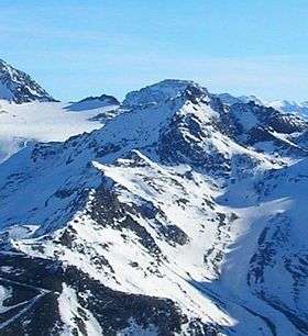
Pointe de Thorens
| Pointe de Thorens | |
|---|---|
 | |
| Highest point | |
| Elevation | 3,266 m (10,715 ft) |
| Coordinates | 45°15′53″N 06°36′34″E / 45.26472°N 6.60944°ECoordinates: 45°15′53″N 06°36′34″E / 45.26472°N 6.60944°E |
| Geography | |
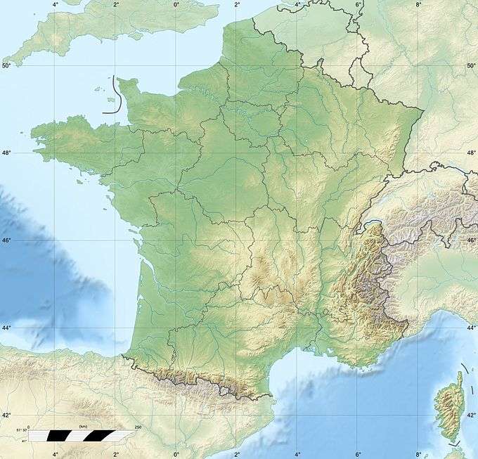 Pointe de Thorens France | |
| Location | Savoie, France |
| Parent range | Massif de la Vanoise |
Pointe de Thorens is a mountain of Savoie, France. It lies in the Massif de la Vanoise range. It has an elevation of 3,266 metres above sea level.
This article is issued from Wikipedia - version of the 12/6/2015. The text is available under the Creative Commons Attribution/Share Alike but additional terms may apply for the media files.