Pointe de la Fournache
| Pointe de la Fournache | |
|---|---|
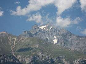 Southern face of Pointe de la Fournache (left) and Dent Parrachée (right) in the background, separated by a small cirque glacier | |
| Highest point | |
| Elevation | 3,642 m (11,949 ft) |
| Coordinates | 45°17′15″N 06°45′09″E / 45.28750°N 6.75250°ECoordinates: 45°17′15″N 06°45′09″E / 45.28750°N 6.75250°E |
| Geography | |
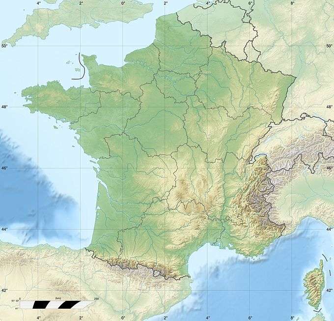 Pointe de la Fournache France | |
| Location | Savoie, France |
| Parent range | Vanoise Massif |
| Geology | |
| Age of rock | Early Jurassic |
| Mountain type | limestone |
Pointe de la Fournache is a mountain of Savoie, France. It lies in the Massif de la Vanoise range. It has an elevation of 3,642 metres (11,949 ft) above sea level.
Pointe de la Fournache lies north of Aussois and southwest of Dent Parrachée (3,697 metres (12,129 ft)). The summit is very close to Dent Parrachée, which is separated by a short ridge.
References
- Some of the content of this article comes from the equivalent French-language Wikipedia article.
This article is issued from Wikipedia - version of the 12/6/2015. The text is available under the Creative Commons Attribution/Share Alike but additional terms may apply for the media files.