Porthmeor
| Porthmeor | |
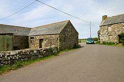 The main road (B3306) between St Ives and St Just at Porthmeor |
|
 Porthmeor |
|
| OS grid reference | SW431371 |
|---|---|
| Civil parish | Zennor |
| Unitary authority | Cornwall |
| Ceremonial county | Cornwall |
| Region | South West |
| Country | England |
| Sovereign state | United Kingdom |
| EU Parliament | South West England |
Coordinates: 50°10′41″N 5°36′00″W / 50.178°N 5.600°W
Porthmeor consists of two farms, Higher and Lower Porthmeor, in the parish of Zennor in Cornwall, England. It should not be confused with Porthmeor beach at St Ives. Higher Porthmeor lies along the B3306 road which connects St Ives to the A30 road and Lower Porthmeor is nearer the coast.[1]
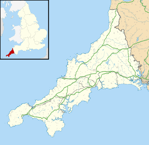
Porthmeor lies within the Cornwall Area of Outstanding Natural Beauty (AONB). Almost a third of Cornwall has AONB designation, with the same status and protection as a National Park.
See also
References
- ↑ Ordnance Survey Explorer 7; Land's End, Penzance and St. Ives, 1:25 000. 1996
Cornwall Portal | |
| Unitary authorities | |
| Major settlements |
|
| Rivers | |
| Topics | |
This article is issued from Wikipedia - version of the 3/2/2016. The text is available under the Creative Commons Attribution/Share Alike but additional terms may apply for the media files.