Prümscheid
| Prümscheid | |
|---|---|
 Prümscheid | |
| Highest point | |
| Elevation | 674.7 m above sea level (NHN) (2,214 ft) [1] |
| Coordinates | 50°10′02″N 6°42′06″E / 50.16733°N 6.70179°ECoordinates: 50°10′02″N 6°42′06″E / 50.16733°N 6.70179°E |
| Geography | |
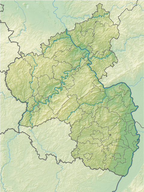
| Location | Wallenborn, Vulkaneifel, Rhineland-Palatinate (Germany) |
| State/Province | DE-RP |
| Parent range | Eifel |
The Prümscheid is a mountain, 674.7 m above sea level (NHN),[1] in the Eifel mountains in Germany. It is located near Wallenborn in the county of Vulkaneifel and is one of the highest peaks in the Eifel. Nearby villages are Salm, Büscheich and Wallenborn.
References
- 1 2 Map service of the Landscape Information System of the Rhineland-Palatinate Nature Conservation Office (Naturschutzverwaltung Rheinland-Pfalz)
This article is issued from Wikipedia - version of the 3/7/2016. The text is available under the Creative Commons Attribution/Share Alike but additional terms may apply for the media files.