Quaqtaq Airport
| Quaqtaq Airport | |||||||||||
|---|---|---|---|---|---|---|---|---|---|---|---|
| IATA: YQC – ICAO: CYHA | |||||||||||
| Summary | |||||||||||
| Airport type | Public | ||||||||||
| Operator | Administration Régionale Kativik | ||||||||||
| Location | Quaqtaq, Quebec | ||||||||||
| Time zone | EST (UTC−05:00) | ||||||||||
| • Summer (DST) | EDT (UTC−04:00) | ||||||||||
| Elevation AMSL | 106 ft / 32 m | ||||||||||
| Coordinates | 61°02′47″N 069°37′04″W / 61.04639°N 69.61778°WCoordinates: 61°02′47″N 069°37′04″W / 61.04639°N 69.61778°W | ||||||||||
| Map | |||||||||||
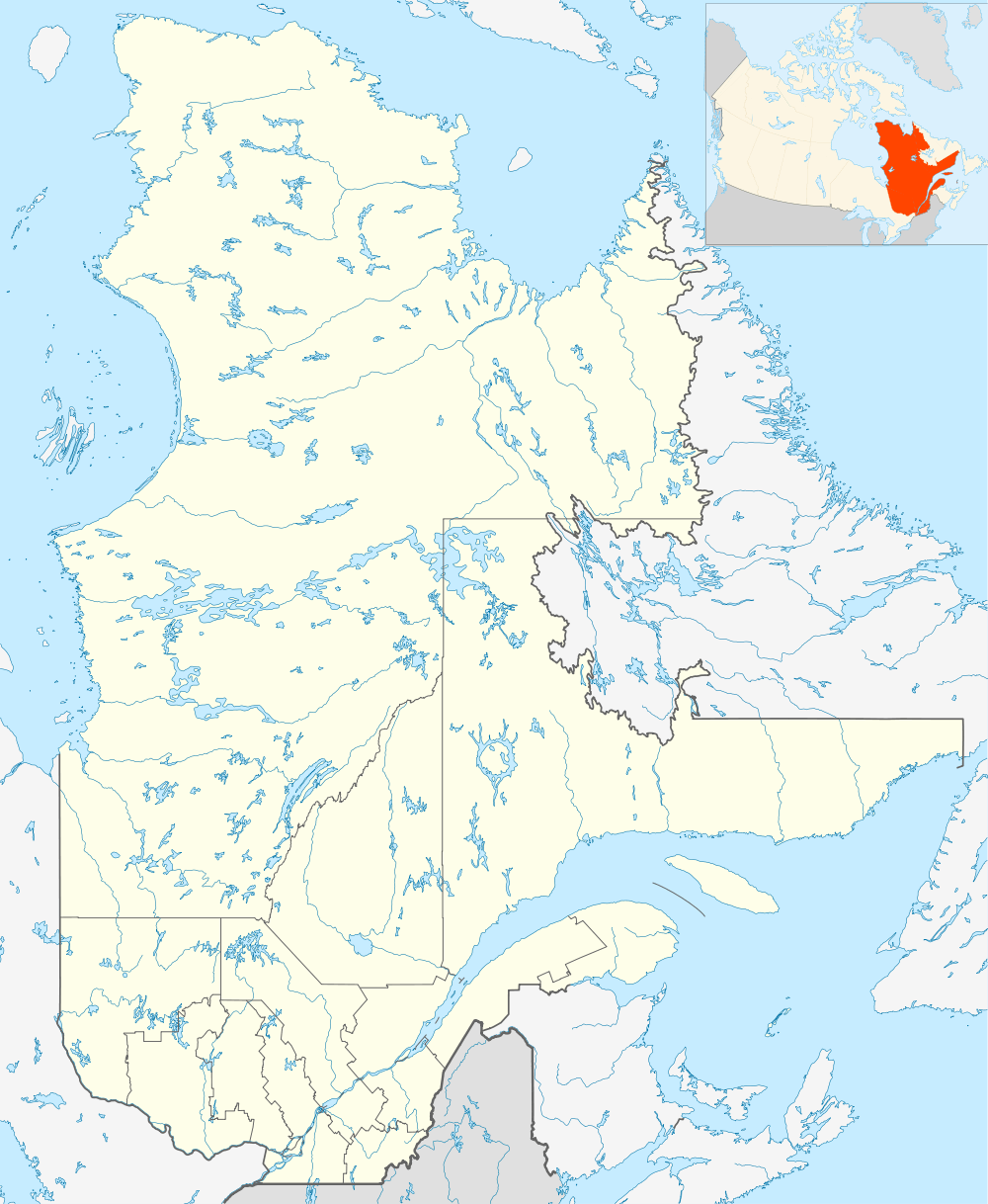 CYHA Location in Quebec | |||||||||||
| Runways | |||||||||||
| |||||||||||
| Statistics (2010) | |||||||||||
| |||||||||||
Quaqtaq Airport, (IATA: YQC, ICAO: CYHA), is located near Quaqtaq, Quebec, Canada. Due to the landfill northeast of the runway birds and dogs may be encountered.
Airlines and destinations
| Airlines | Destinations |
|---|---|
| Air Inuit | Aupaluk, Kangiqsujuaq, Kangirsuk, Kuujjuaq, Montreal-Trudeau, Quebec City, Salluit, Schefferville, Tasiujaq |
References
- ↑ Canada Flight Supplement. Effective 0901Z 15 September 2016 to 0901Z 10 November 2016
- ↑ Total aircraft movements by class of operation
External links
- Past three hours METARs, SPECI and current TAFs for Quaqtaq Airport from Nav Canada as available.
| By name | |
|---|---|
| By location indicator | |
| By province/territory | |
| By region | |
| National Airports System | |
| Related | |
| |
This article is issued from Wikipedia - version of the 12/4/2016. The text is available under the Creative Commons Attribution/Share Alike but additional terms may apply for the media files.