Quebec Boundary Extension Act, 1898
Evolution of the borders of the Province of Quebec
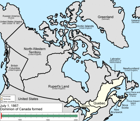
The Quebec Boundary Extension Act of 1898 was an act of the Parliament of Canada that expanded the territory of the province of Quebec. The province's northern boundary was set along the eastern shore of James Bay to the mouth of the Eastmain River, north along the river, then due east to the Hamilton River and down the river to the western boundary of Labrador.
The first of two such acts, a second Act was passed by the Parliament in 1912 and entitled the Quebec Boundaries Extension Act, 1912. Together, these two expansions more than tripled the size of the Province of Quebec to what it is today.
| Wikisource has original text related to this article: |
See also
This article is issued from Wikipedia - version of the 11/28/2014. The text is available under the Creative Commons Attribution/Share Alike but additional terms may apply for the media files.