Queen Louise Island
| Native name: <span class="nickname" ">Kissarsiitilik | |
|---|---|
 Queen Louise Island | |
| Geography | |
| Location |
North Atlantic Ocean Southern Greenland |
| Coordinates | 60°22′N 43°16′W / 60.367°N 43.267°WCoordinates: 60°22′N 43°16′W / 60.367°N 43.267°W |
| Highest elevation | 781 m (2,562 ft) |
| Highest point | Nuussuaq |
| Administration | |
|
Greenland | |
| Municipality | Kujalleq |
| Demographics | |
| Population | 0 |
Queen Louise Island (Danish: Dronning Louise Ø) or Kissarsiitilik[1] is an uninhabited island in the Kujalleq municipality in southern Greenland.
The island was named Dronning Louise Ø after Queen Louise of Sweden (1851–1926), wife of King Frederick VIII of Denmark.
Geography
Queen Louise Island is a coastal island located off King Frederick VI Coast in southeastern Greenland between two narrow fjords on the southern side of the mouth of Lindenow Fjord.[2] Its length is 14 kilometres (9 miles) and its maximum width 5 kilometres (3 miles).
Queen Louise Island is mountainous, Nuussuaq the tallest of its three main peaks reaching 781 metres (2,562 feet) in height. The island's coast is deeply indented and off its easternmost point lies the smaller island of Kanajoorartuut. Nanuuseq Island lies 7.7 km to the north, on the other side of the mouth of Lindenow Fjord.[3]
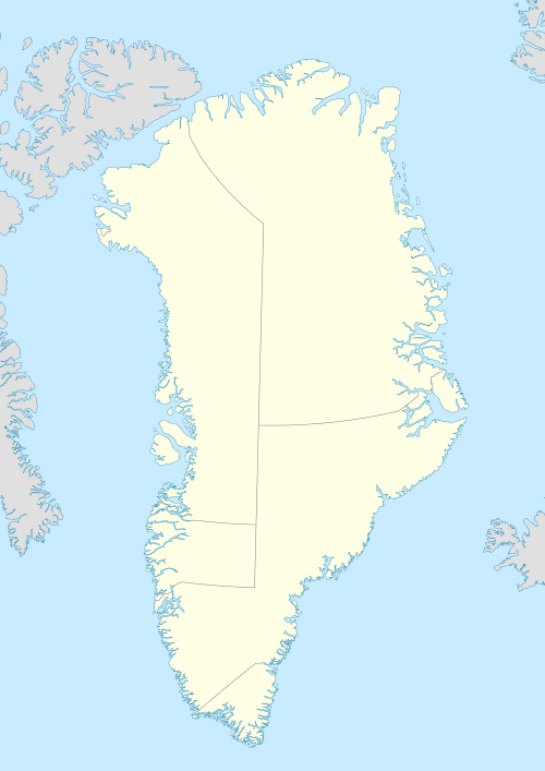
 Map of Greenland section showing Queen Louise Island. |