Quezalapa
| Quezalapa | |
|---|---|
| City | |
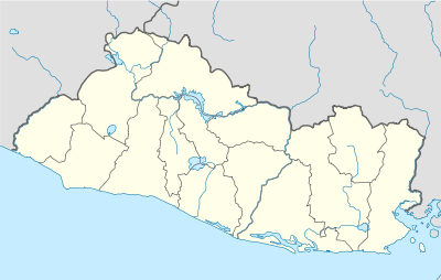 Quezalapa Location in El Salvador | |
| Coordinates: 13°50′55.00″N 89°48′51.01″W / 13.8486111°N 89.8141694°WCoordinates: 13°50′55.00″N 89°48′51.01″W / 13.8486111°N 89.8141694°W | |
| Country |
|
| Department | Ahuachapán Department |
| Elevation | 1,404 m (4,607 ft) |
| Time zone | America/El_Salvador (UTCUTC/GMT-06:00) |
Quezalapa is a town in Ahuachapán, El Salvador.[1]
Quezalapa is the Nahuat word for the Quetzal bird.[2]
It is located 43 mi (or 70 km) West of San Salvador, the country's capital[3]
Nearby is Cerro de Apaneca mountain which is part of the Quezalapa mountain range and is the source of the Paz river.
According to the census of population and housing carried out by the National Institute of statistics and geography in 2005, the population of Quetazalapa had a total of 808 inhabitants, of which 377 were men and 431 were women.[4]
References
- ↑ http://www.mbendi.com/place/quezalapa-ahuachap%C3%A1n-el-salvador-3250996
- ↑ http://www.suchitoto-el-salvador.com/english/rural.htm
- ↑ http://trip-suggest.com/el-salvador/ahuachapan/quezalapa/
- ↑ "Archived copy". Archived from the original on November 22, 2012. Retrieved July 31, 2015.
This article is issued from Wikipedia - version of the 9/15/2016. The text is available under the Creative Commons Attribution/Share Alike but additional terms may apply for the media files.