Quinn Canyon Range


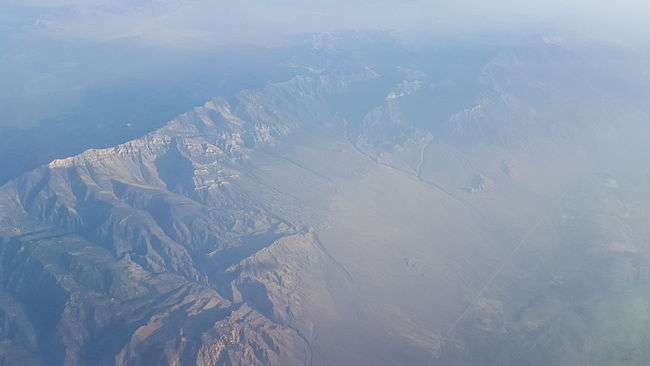
The Quinn Canyon Range is a remote group of mountains in northeastern Nye County, and western Lincoln County in central Nevada in the western United States. Adaven is the only settlement on the mountains, now abandoned.
It is closely associated with the Grant Range, which connects to it at the mountain pass of Cherry Creek Summit 7,596 feet (2,315 m).[1] From there, the range runs for approximately 33 miles to the southwest. To the west is the large Railroad Valley, to the east is White River Valley, and to the south is Sand Spring Valley.
The high point of the range is an unnamed peak at 10,185 feet (3,104 m) at 38°07.341′N 115°42.518′W / 38.122350°N 115.708633°W.[2]
This range, the Grant Range, and Railroad Valley were early candidates for the siting of the Great Basin National Park, being excellent examples of the Great Basin and the Basin and Range Province. The higher elevations of the range are protected as the Quinn Canyon Wilderness.
The sagebrush cinquefoil (Potentilla johnstonii) is a rare species of plant that has only been seen in the Quinn Canyon Range.[3]

References
| Wikimedia Commons has media related to Quinn Canyon Range. |
- ↑ Adaven Quadrangle, Nye County, Nevada, 7.5 series Topographic map, USGS, 1985, 38115-B5-TF-024
- ↑ Badger Gulch Quadrangle, Nye County, Nevada, 7.5 series Topographic map, USGS, 1985, 38115-A6-TF-024
- ↑ Potentilla johnstonii. The Nature Conservancy.
- "Quinn Canyon Range". Geographic Names Information System. United States Geological Survey. Retrieved 2008-12-11.
External links
- "Quinn Canyon Range". Peakbagger.com. Retrieved 2008-12-11.
Coordinates: 38°07′13″N 115°42′34″W / 38.1202174°N 115.7094790°W