RAF Kirkistown
RAF Kirkistown | |||||||||||||||||||
|---|---|---|---|---|---|---|---|---|---|---|---|---|---|---|---|---|---|---|---|
| IATA: none – ICAO: none | |||||||||||||||||||
| Summary | |||||||||||||||||||
| Airport type | Military | ||||||||||||||||||
| Owner | Air Ministry | ||||||||||||||||||
| Operator | Royal Air Force | ||||||||||||||||||
| Location | Portavogie, County Down | ||||||||||||||||||
| Built | 1941 | ||||||||||||||||||
| In use | 1941-1946 | ||||||||||||||||||
| Elevation AMSL | 276 ft / 84 m | ||||||||||||||||||
| Coordinates | 54°27′18″N 005°27′57″W / 54.45500°N 5.46583°W | ||||||||||||||||||
| Map | |||||||||||||||||||
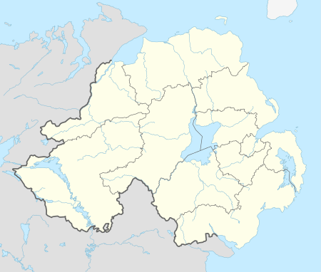 RAF Kirkistown Location in Northern Ireland | |||||||||||||||||||
| Runways | |||||||||||||||||||
| |||||||||||||||||||
RAF Kirkistown is a former Royal Air Force satellite airfield located 6.3 miles (10.1 km) of Ballyhalbert, County Down, Northern Ireland and 6.3 miles (10.1 km)
It was a satellite to the RAF Fighter Command airfield at Ballyhalbert on the Ards Peninsula.
History
RAF Ballyhalbert opened officially on 28 June 1941 and the Kirkistown satellite airfield opened in July 1941. On 22 January 1942, No. 504 Squadron RAF moved to Kirkistown.[1] In 1945 Ballyhalbert Airfield transferred to the Admiralty and became a Royal Naval Air Station commissioned as HMS Corncrake. On 17 July 1945 Kirkistown Airfield was commissioned as HMS Corncrake II.[2]
- 808 Naval Air Squadron.[3]
- 818 Naval Air Squadron.[3]
- 835 Naval Air Squadron.[3]
- 881 Naval Air Squadron.[3]
- 885 Naval Air Squadron.[3]
- 887 Naval Air Squadron.[3]
- No. 1493 (Fighter) Gunnery Flight.[3]
- No. 1493 (TT) Flight.[3]
Current use
Today the site is home to Kirkistown Circuit, a regular venue for car and motorcycle races. The circuit utilises the northern parts of the former air base's runways and perimeter roadways.
See also
References
Citations
- ↑ Jefford 1988, p. 95.
- ↑ "Kirkistown". Ballyhalbert Airfield. A Brief Chronology. Archived from the original on 9 May 2008. Retrieved 2008-12-21.
- 1 2 3 4 5 6 7 8 "Kirkistown". Airfields of Britain Conservation Trust. Retrieved 16 October 2013.
Bibliography
- Jefford, C.G, MBE, BA, RAF (Retd). RAF Squadrons, a Comprehensive Record of the Movement and Equipment of all RAF Squadrons and their Antecedents since 1912. Shrewsbury, Shropshire, UK: Airlife Publishing, 1988. ISBN 1-84037-141-2.
External links
Coordinates: 54°27′18″N 5°27′58″W / 54.455°N 5.466°W
Royal Air Force portal | ||
| Formations and units |  | |
| Branches and components | ||
| Reserve forces | ||
| Associated civil organizations | ||
| Equipment | ||
| Personnel | ||
| Appointments | ||
| Symbols and uniform | ||