Raghogarh-Vijaypur
| Raghogarh-Vijaypur Ragogarh | |
|---|---|
| Town | |
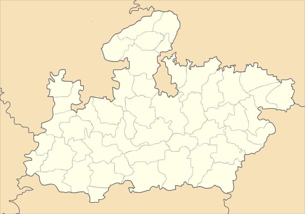 Raghogarh-Vijaypur Location in Madhya Pradesh, India | |
| Coordinates: 24°26′39″N 77°11′55″E / 24.44417°N 77.19861°E | |
| Country |
|
| State | Madhya Pradesh |
| District | Guna |
| Founded by | Hindupat Raja Lal Singhji |
| Government | |
| • Member of Parliament | Mr. Rodmal Nagar , BJP |
| • Member of Assembly | Mr. Jaiwardhan Singh (son of Digvijay Singh), INC |
| • Mayor | Mr. Adityavikram Singh (son of Lakshman Singh), INC |
| Elevation | 448 m (1,470 ft) |
| Population (2011) | |
| • Total | 62,163 |
| Languages | |
| • Official | Hindi |
| Time zone | IST (UTC+5:30) |
| PIN | 473226 |
| Telephone code | 91-7544 |
| Vehicle registration | MP-08 |
Raghogarh-Vijaypur is a municipality and Raghogarh a town in Guna district in the Indian state of Madhya Pradesh.
Geography
Raghogarh is located at 24°26′39″N 77°11′55″E It has an average elevation of 448 metres.
Raghogarh in Guna district of Madhya Pradesh is the gateway of Malwa and Chambal. It is located on the north-eastern part of Malwa Plateau. Western boundary is well defined by Parbati river. Parbati is the main river flowing along the western boundary touching Rajgarh District of Madhya Pradesh, and Jhalawarh and Kota Districts of Rajasthan.Kota is located in north and the cities Vidisha, Bhopal, and Rajgarh lie to the South.Nearest transport hub is Guna. nowadays Guna is connected with every city of state and many major cities of India by train and by road. Shri Madhav Rao Scindia lagislative before Jyotiraditya Scindia has made Guna one of the developed district in Madhya Pradesh. There are many trains running from Guna to Kolkata, Indore, Bhopal, Gwalior, Delhi, Amritsar, Jaipur, Ahmedabad, Mumbai etc. when he was railway minister and today Guna is one of the main stations in Bhopal division.
Climate
Raghogarh has a sub-tropical climate with hot summers from late March to early July, the humid monsoon season from late June to early October, and a cool dry winter from early November to late February. Summers start in late March, and along with other cities like Nagpur and Delhi, are among the hottest in India and the world. Temperatures peak in May and June with daily averages being around 33–35 °C (93–95 °F), and end in late June with the onset of the monsoon. Raghogarh receives 970 mm (39 in) of rain every year, most of which is concentrated in the monsoon months from late June to early October. August is the wettest month with about 310 mm (12 in) of rain. Winter in Raghogarh starts in late October, and is generally very mild with daily temperatures averaging in the 14–16 °C (58–62 °F) range, and mostly dry and sunny conditions. January is the coldest month with average lows in the 5–7 °C range (40–45 °F) and occasional cold snaps that plummet temperatures to close to freezing.
Location
Raghogarh is about 180 km north of Bhopal, the capital of state of Madhya Pradesh. Although it lies in Guna district and is about 30 km from Guna town, which is the district headquarters.Near By Station Ruthiyai Junction Only Junction through we could go Raghogarh
Demographics
As of 2011 India census,[1] Raghogarh-Vijaypur had a population of 62,163.
Education
Schools
- Delhi Public School, N.F.L.
- Central School(KV), Gail
- SRI SATHYA SAI VIDYA VIHAR, GAIL
- Hindupat Public School, Raghogarh
- Jai Jyoti School, JUET, AB Road, Raghogarh
- Govt. Boys' H.S. School, Raghogarh
- Govt. Girls' H.S. School, Raghogarh
- Shanti Vidhya Mandir School, AB Road, Ruthiyai Raghogarh
- Govt h s s dongar
Colleges
- Govt. Degree College, Raghogarh
- Govt. Polytechnic College, Raghogarh
- Govt. I.T.I., Raghogarh
- Hindupat Industrial Training Institute (HITI), Raghogarh
- Hindupat Computer Training Institute (HCTI), Raghogarh
- Jaypee University of Engineering and Technology
Parks/recreation
- Gopi krishna sagar Dam
- Sanjay Sagar Dam
- Indira Park
- Royal Jungle Camp
Religious/Devotional places
- Patai Hanuman Mandir
- Tuka Hanuman Mandir
- Dhirajsinghji Maharaj Dheerpur
- Ashtbhuji Mata Mandir
- Jain Mandir Katra Mohalla
- Fatak wale Hanuman Mandir
- Chatri Hanuman mandir
- Saibaba Mandir Sada Colony
- Bada Shivalay
- Sankatmonan Hanuman Mandir Awan
- Panchmukhi Hanuman Mandir A.B. Road Ruthiyai
- kali mata mandir
Main festivals
Aside from the general religious festivals that are widely celebrated, such as Holi and Diwali, there are local ones. These include Nag-Panchmi, Shreenath Mahadji Maharaj Punyatithi, Gangaur, Teej, Gudi Padwa (Marathi New Year), Navratri, and Durga Puja.
Raghogarh also celebrates Rang Panchami quite differently. This festival is celebrated five days after Dulendi or Holi. This is also celebrated like Dulendi, but colours are mixed with water and then either sprinkled or poured on others.
Industries
Though Raghogarh is very small nondescript town, it is still an important industrial centre. Some of the major industries are:
- National Fertilizers Limited, Vijaipur
- Gas Authority of India Limited, Vijaipur
- Sugar Factory, Narayanpura
- IOCL Bottling Plant,Vijaipur
- Hero showroom bharsula
Famous people
- Digvijaya Singh, politician
- Lakshman Singh (politician), politician
- Balbhadra Singh, politician
- Jaivardhan Singh, politician
Raghogarh constituency
Raghogarh Vidhan Sabha constituency is one of the 230 Vidhan Sabha (Legislative Assembly) constituencies of Madhya Pradesh state in central India.[2] This constituency came into existence in 1951, as one of the 79 Vidhan Sabha constituencies of the erstwhile Madhya Bharat state.
Raghogarh (constituency number 31) is one of the four Vidhan Sabha constituencies located in Guna district. This constituency covers parts of Raghogarh and Aron tehsils.[3]
Raghogarh is part of Rajgarh Lok Sabha constituency along with seven other Vidhan Sabha segments, namely, Chachoura in this district, Narsinghgarh, Biaora, Rajgarh, Khilchipur and Sarangpur in Rajgarh district and Susner in Shajapur district.[3]
Transportational problems and connectivity
Raghogarh has a poor transport facility. It is not connected to main cities of the state as well as to the cities around India by railways and roadways.
Raghogarh is flag station lies in WCR. Ruthiyai is the nearest major junction station which is located under municipality. Ruthiyai is 15 km away from the town. Other important main transportation hub is Guna. Ruthiyai is the part of Kota–Bina section and Maksi–Etawa railway section of Western Central Railway. One can reach Raghogarh by airways too, the nearest airport to Raghogarh is Bhopal Airport , Indore Airport and Gwalior Airport. Raghogarh is situated by the major district roads (MDR). It is Well connected with Guna,Aron and Maksudangarh.Ruthiyai is situated on the Western-Central Railway 's broad gauge line of the Kota–Bina Section and Maksi–Etawa Section. Recently The trains are available for Bhopal, Indore, Gwalior, Jabalpur, Ahmedabad, Surat, Vadodra, Kota, Jaipur, Jodhpur, Chittorgarh, Udaipur, Bhilwara, Ajmer, Kolkata, Delhi, Dehradoon, Jhansi, Agra, Kanpur, Lucknow, Allahabad, Gorakhpur, Darbhangga, Mujjafarpur,Durg, Bilaspur, Sagar, Ujjain.
Raghogarh is well connected by road from Indore, Bhopal and Gwalior. The NH-3 Agra Bombay highway is 3 km and NH-12 J.J. Road is 65 km from Raghogarh .
References
- ↑ "Census of India 2011: Data from the 2011 Census, including cities, villages and towns (Provisional)". Census Commission of India. Retrieved 2008-11-11.
- ↑ "District/Assembly List". Chief Electoral Officer, Madhya Pradesh website. Retrieved 3 December 2010.
- 1 2 "Delimitation of Parliamentary and Assembly Constituencies Order, 2008" (PDF). The Election Commission of India. pp. 226, 250.