Ramsele
| Ramsele | |
|---|---|
 Ramsele 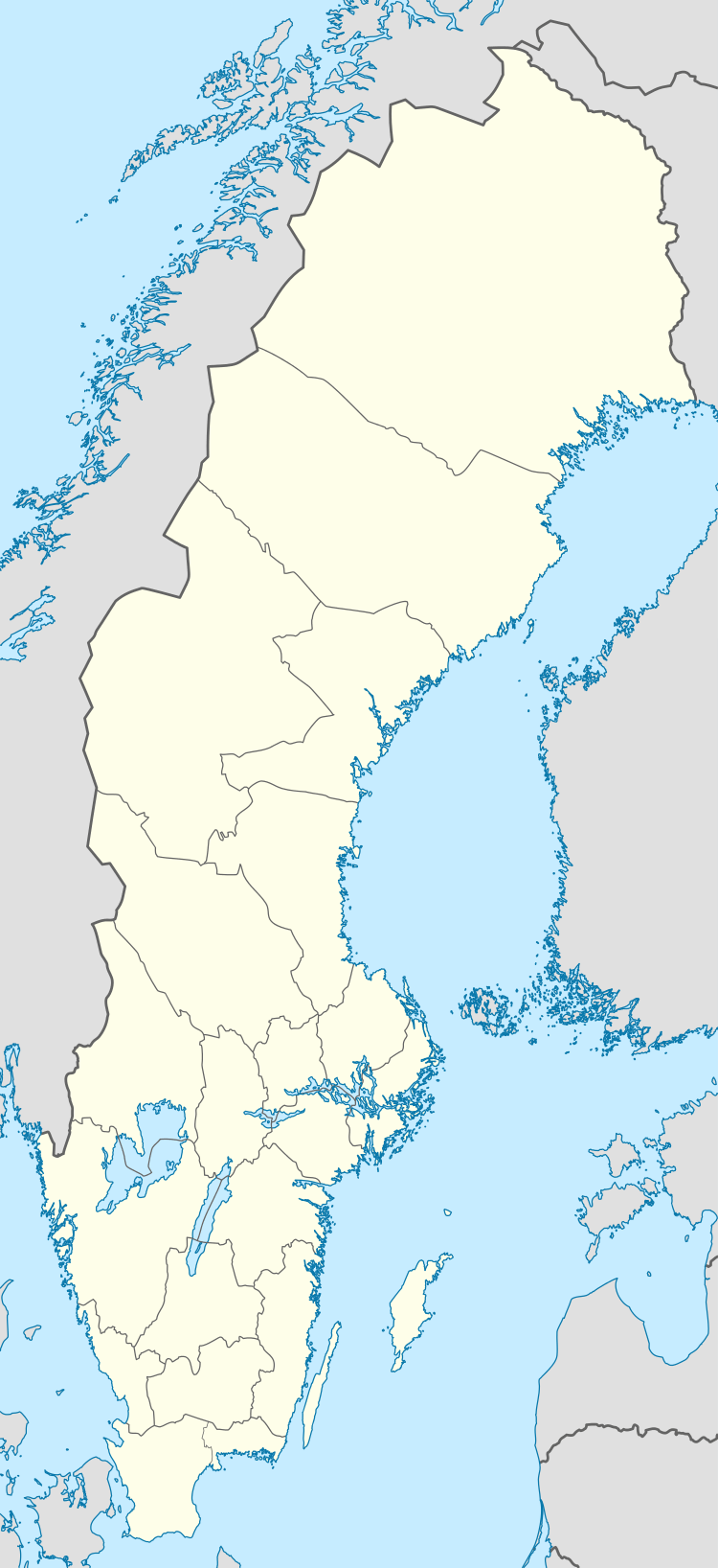 Ramsele | |
| Coordinates: 63°32′N 16°28′E / 63.533°N 16.467°ECoordinates: 63°32′N 16°28′E / 63.533°N 16.467°E | |
| Country | Sweden |
| Province | Ångermanland |
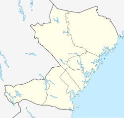
| County | Västernorrland County |
| Municipality | Sollefteå Municipality |
| Area[1] | |
| • Total | 1.97 km2 (0.76 sq mi) |
| Population (31 December 2010)[1] | |
| • Total | 968 |
| • Density | 492/km2 (1,270/sq mi) |
| Time zone | CET (UTC+1) |
| • Summer (DST) | CEST (UTC+2) |
Ramsele is a locality situated in Sollefteå Municipality, Västernorrland County, Sweden with 968 inhabitants in 2010. Since the 1960s, the population has decreased from 1563 to 968.[1] It is situated by the river Faxälven about 70 km north-west of Sollefteå. The oldest known name of the town is "Rannasild", according to a local book about the area. Later it was known as Hrafnasil, a name which probably originated from Old Norse, and literally meant 'Calm water of ravens'. The oldest evidence of settlement is a church from the late 13th century.
References
- 1 2 3 "Tätorternas landareal, folkmängd och invånare per km2 2005 och 2010" (in Swedish). Statistics Sweden. 14 December 2011. Archived from the original on 10 January 2012. Retrieved 10 January 2012.
This article is issued from Wikipedia - version of the 8/7/2016. The text is available under the Creative Commons Attribution/Share Alike but additional terms may apply for the media files.