Ranchaero Airport
| Ranchaero Airport | |||||||||||
|---|---|---|---|---|---|---|---|---|---|---|---|
| IATA: none – ICAO: none – FAA LID: CL56 | |||||||||||
| Summary | |||||||||||
| Airport type | Private | ||||||||||
| Owner | Ranchaero Inc. | ||||||||||
| Serves | Chico, California | ||||||||||
| Elevation AMSL | 173 ft / 53 m | ||||||||||
| Coordinates | 39°43′10″N 121°52′14″W / 39.71944°N 121.87056°W | ||||||||||
| Map | |||||||||||
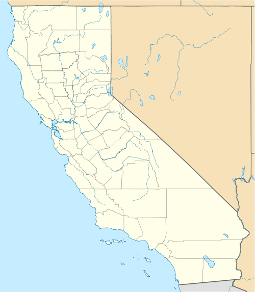 CL56 Location of Ranchaero Airport in California | |||||||||||
| Runways | |||||||||||
| |||||||||||
| Statistics (2004) | |||||||||||
| |||||||||||
Ranchaero Airport (FAA LID: CL56, formerly O23) is a private-use airport located one nautical mile (2 km) west of the central business district of Chico, in Butte County, California, United States.[1]
Until 2009, it was a public-use airport with the FAA identifier O23.[2]
Facilities and aircraft
Ranchaero Airport covers an area of 23 acres (9 ha) at an elevation of 173 feet (53 m) above mean sea level. It has one runway designated 14/32 with an asphalt surface measuring 2,156 by 30 feet (657 x 9 m).[1]
For the 12-month period ending December 31, 2004, the airport had 5,000 general aviation aircraft operations, an average of 13 per day. At that time there were 34 aircraft based at this airport: 88% single-engine and 12% helicopter.[1]
References
- 1 2 3 4 FAA Airport Master Record for CL56 (Form 5010 PDF). Federal Aviation Administration. Effective April 5, 2012.
- ↑ "O23 - Ranchaero Airport - FAA information effective May 7, 2009". FAA data republished by AirNav. Archived from the original on May 27, 2009.
External links
- Aerial image as of August 1998 from USGS The National Map
- Resources for this airport:
- FAA airport information for CL56
- AirNav airport information for CL56
- FlightAware airport information and live flight tracker
- SkyVector aeronautical chart for CL56