Rangail
| Rangail Rangail | |
|---|---|
| village | |
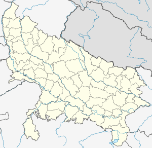 Rangail  Rangail Location in Uttar Pradesh, India | |
| Coordinates: 29°33′21″N 77°24′08″E / 29.5559°N 77.4023°ECoordinates: 29°33′21″N 77°24′08″E / 29.5559°N 77.4023°E | |
| Country |
|
| State | Uttar Pradesh |
| District | Saharanpur |
| Population (2010) | |
| • Total | 1,535 |
| • Density | 324/km2 (840/sq mi) |
| Languages | |
| • Official | Hindi English Urdu |
| Time zone | IST (UTC+5:30) |
| PIN | 247769 |
| Telephone code | 91-132 |
| Vehicle registration | up11 |
| Sex ratio | 991 ♂/♀ |
| Website |
up |
Rangail is a village in the Saharanpur district in Uttar Pradesh, India. It is situated about 16 km away from Saharanpur proper at the border to Haryana.[1] The population includes many communities e.g. Tyagi, Kashyap, Pal, Vishvakarma, Harijan, Salmani, Telli, Jhojje And Shekh. In this village, the main occupation is farming and Government Service There are many villages near Rangail. These are Sunehati kharkhari, Roopri, Feraheri, Kolkie, Pathed, Hariyabas, Itava, khajoori etc. A man named Shri Kalu RAm Tyagi, a famous man in his Tyagi community is living in this village and he is also the Head of Railway Transport Saharanpur And in Muslim community Mohd.Liyaqat Jhojha and he is also Train Loco Pilot in Ambala Divison.