Remøya
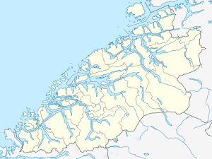 Remøya Location in Møre og Romsdal | |
| Geography | |
|---|---|
| Location | Norway |
| Coordinates | 62°22′00″N 05°38′27″E / 62.36667°N 5.64083°ECoordinates: 62°22′00″N 05°38′27″E / 62.36667°N 5.64083°E |
| Area | 3.6 km2 (1.4 sq mi) |
| Highest elevation | 191 m (627 ft) |
| Highest point | Vardan |
| Administration | |
| County | Møre og Romsdal |
| Municipality | Herøy |
Remøya is an island in the municipality of Herøy in Møre og Romsdal county, Norway. The island is located north of the municipal center of Fosnavåg. The island is connected to other islands via a network of bridges. The Remøy Bridge connects it to the island Leinøya (to the south) and the Runde Bridge connects it to Runde (to the north). The highest point on the island is Vardan which is 191 metres (627 ft) above sea level. The island has an area of 3.6 square kilometres (1.4 sq mi).[1]
Virtually all of the island's residents live on the southern portion of the island in the 0.41-square-kilometre (100-acre) village area called Remøy. The village has a population (2013) of 354, giving the village a population density of 863 inhabitants per square kilometre (2,240/sq mi).[2]
References
- ↑ Store norske leksikon. "Remøya" (in Norwegian). Retrieved 2010-09-19.
- ↑ Statistisk sentralbyrå (1 January 2013). "Urban settlements. Population and area, by municipality.".