Reni, Alwar
| Reni Neelnagri | |
|---|---|
| Town | |
| Nickname(s): Blue city | |
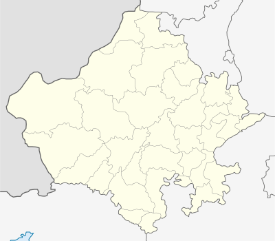 Reni  Reni Location in Rajasthan, India | |
| Coordinates: 27°09′40″N 76°42′47″E / 27.161°N 76.713°ECoordinates: 27°09′40″N 76°42′47″E / 27.161°N 76.713°E | |
| Country |
|
| State | Rajasthan |
| District | Alwar |
| Elevation | 254 m (833 ft) |
| Population (2011) | |
| • Total | 8,857 |
| Languages | |
| • Official | Hindi |
| Time zone | IST (UTC+5:30) |
| <--Telephone code--> | 01464 |
| Nearest city | Rajgarh |
Reni is a town (tehsil and a block) in Alwar district of the Indian state of Rajasthan, situated 205 km from Delhi and 122 km from Jaipur. It is situated in between Bandkui and Mandawar.
Etymology
The term RENI comes from ‘RENIDIFY’ which mean “to build a new nest” Reni
Geography
Reni city is surrounded by mountains so it is known as ‘Blue City’ or Neelnagri.
Places of interest
- Alewa waterfall
- Chatarbhuj temple
- Kutti Wala Hanuman
- Vankhandi Mahadev Temple
- Sita Ram Mandir
- Shri Radha Krishan Temple
- Mandhipur Balaji(30 km)
- Old Jain Temple
- Reni Ki Bavdi
- Reni Ka Bandh Dam
Education
Schools
- Govt high school Reni
- Adarsh govt girls sr sec school Reni
- vivekanand sr.sec. school Reni
- Adarsh shixa mandir Reni
- Santersa sr sec school
- Vinayak children academy
- Sunrise public school
- glouris public school
Colleges
- govt iti college
- gomti devi iti college
- Krishna arts girls college
- Sant bhagvati das college,pinan
Banks
- Punjab national bank
- State bank of India(coming soon)
- Rajasthan ghramin bank
- co-operative bank
- State bank of Bikaner and Jaipur(soon)
Railway_stations
Reni has a railway station(karanpura railway station) 5 km from reni city.Agra-Bandkui-Jaipur and Agra-Alwar-Delhi rail line passages from Reni (karanpura) railway station.
Villages
Reni include multiple villages:
- Machari(11 km)
- Pinan(12 km)
- Ghari sawairam(10)
- Jamdoli(10 km)
- bhajera (5km)
References
This article is issued from Wikipedia - version of the 11/30/2016. The text is available under the Creative Commons Attribution/Share Alike but additional terms may apply for the media files.