Reversing Falls Park
For the falls in Saint John, New Brunswick, see Reversing Falls.
|
Reversing Falls Site | |
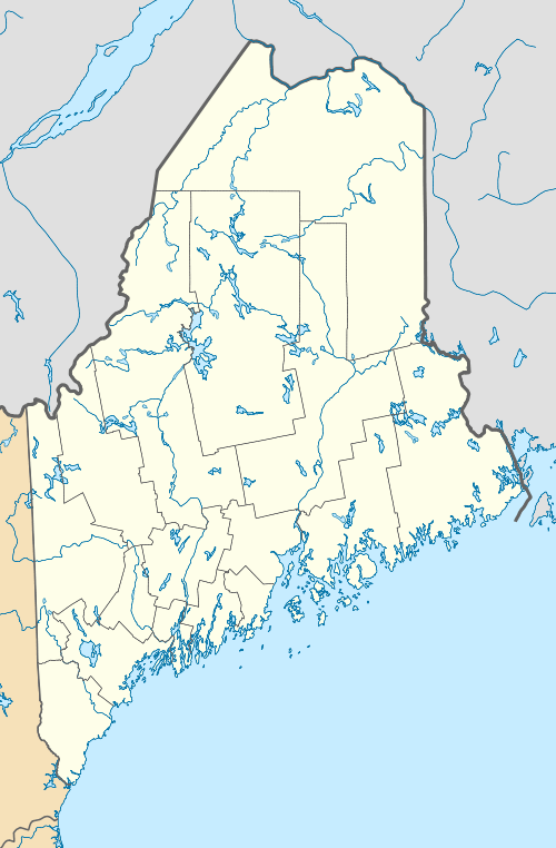  | |
| Nearest city | Pembroke, Maine |
|---|---|
| Coordinates | 44°52′57″N 67°7′57″W / 44.88250°N 67.13250°WCoordinates: 44°52′57″N 67°7′57″W / 44.88250°N 67.13250°W |
| Area | 0.5 acres (0.20 ha) |
| MPS | Cobscook Area Coastal Prehistoric Sites MPS |
| NRHP Reference # | 90000907[1] |
| Added to NRHP | June 27, 1990 |
Reversing Falls Park is a municipal park in Pembroke, Maine. It is located at Mahar Point, the northern point of a narrows separating Dennys Bay from Cobscook Bay in far eastern Maine. The narrows are subject to a reversal of current twice a day, owing to the area's unusually high tides. In addition to viewing this action, the park is also well suited for wildlife viewing.[2]
The area in the park vicinity is also archaeologically sensitive, as the site of Native American settlements in the area's prehistory. It was listed on the National Register of Historic Places in 1990.[1]
See also
References
- 1 2 National Park Service (2010-07-09). "National Register Information System". National Register of Historic Places. National Park Service.
- ↑ "Reversing Falls". Town of Pembroke. Retrieved 2016-02-08.
| Topics | |
|---|---|
| Lists by states |
|
| Lists by insular areas | |
| Lists by associated states | |
| Other areas | |
| |
This article is issued from Wikipedia - version of the 12/2/2016. The text is available under the Creative Commons Attribution/Share Alike but additional terms may apply for the media files.