Rinsey
Coordinates: 50°05′49″N 5°21′58″W / 50.097°N 5.366°W
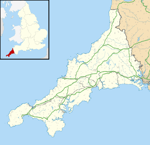
Rinsey is a hamlet in Cornwall, England, United Kingdom. It is located off the main A394 road between Helston and Penzance in the civil parish of Breage. The nearby hamlet of Rinsey Croft is located 1 km to the north-east.[1] The nearby cliffs and beach are owned and managed by the National Trust and part of Rinsey East Cliff is designated as the Porthcew Site of Special Scientific Interest (SSSI) for its geological interest. The South West Coast Path passes through the property.[1] Rinsey lies within the Cornwall Area of Outstanding Natural Beauty (AONB). Almost a third of Cornwall has AONB designation, with the same status and protection as a National Park.
History
Rinsey, in the Hundred of Kerrier, is mentioned in the Domesday Book as one of four Manors in the parish of Breage, under the name of 'Rentis'.[2] The population in 1086 was 9.5 households.[3]
In the 29 April 1880 edition of The Cornishman, Rinsey was listed as one of the places in the Helston area with a fishing fleet.[4]
Wheal Prosper
Wheal Prosper, (grid reference SW593270) on Rinsey East Cliff, started operating in 1860 possibly as an extension of Wheal Trewarvas mine, 800m to the east on Trewarvas Cliff (grid reference SW600265). The mine is on the southern end of the Tregonning granite within the Wendron Mining District. By the time Prosper closed in 1866 it had produced mostly tin and a little copper from the Porthcew lode.[5] The prominent house on Rinsey Head is often said to have been the mine's count house (offices), it was built in the late 1920s and early 1930s by Mr G A Gibb, a London stockbroker, after he bought the land from Mr Bucket, a local farmer. Designed as an Arts and Craft style holiday home, rock had to be blasted in order to build the foundations, taking four years to build with stone from a local quarry.[6]
Natural history
In 1990 part of Rinsey Cliff was notified as the Porthcew SSSI for the mineral assemblage caused by the granite contact zone on the Upper Devonian Mylor Slates. The contact zone is also a Geological Conservation Review site of national importance.[7][8]
Trewarvas Head is the site of a black-legged kittiwake (Rissa tridactyla) colony usually with thirty-five nesting pairs although numbers can vary with just six active nests (all failing) in 2013.[9][10] Other breeding birds include European shag (Phalacrocorax aristotelis) and European herring gull (Larus argentatus).[11]
In popular culture

The house on the Rinsey Head was a setting for a Rosamunde Pilcher story.[6]
References
- 1 2 Ordnance Survey: Landranger map sheet 203 Land's End ISBN 978-0-319-23148-7
- ↑ Polglase, Stephen (2003). The Book of Breage & Germoe. Tiverton: Halsgrove.
- ↑ "Rinsey". Open Domesday. Retrieved 26 February 2012.
- ↑ "Helston". The Cornishman (94). 29 April 1880. p. 4.
- ↑ Iclok. "Wheal Prosper (Rinsey) Tin Mine (United Kingdom)". AditNow. Retrieved 26 February 2012.
- 1 2 Williams, John (8 January 2015). "Home's TV role brings back fond memories". The Cornishman. p. 19.
- ↑ "Porthcew SSSI" (PDF). Natural England. 1990. Retrieved 26 February 2012.
- ↑ Penzance Sheet 351/358. British Geological Survey. 1984.
- ↑ Grantham, Mark. "Rinsey Kittiwakes". West Cornwall Ringing Group. Retrieved 28 June 2015.
- ↑ Grantham, Mark. "Nest recording in 2013". West Cornwall Ringing Group. Retrieved 9 August 2015.
- ↑ Gratham, Mark. "22 April 2014 Rinsey Shags six weeks late". West Cornwall Ringing Group. Retrieved 28 June 2015.
Cornwall Portal | |
| Unitary authorities | |
| Major settlements |
|
| Rivers | |
| Topics | |