Rio Puerco (Rio Chama)
Not to be confused with Rio Puerco (Rio Grande) or Puerco River.
| Rio Puerco de Chama (Day p'ohu'u, Nap'otap'o) | |
| Rio Coyote | |
| Country | United States |
|---|---|
| State | New Mexico |
| County | Rio Arriba |
| Source | |
| - location | Nacimiento Mountains |
| - elevation | 9,706 ft (2,958 m) [1] |
| - coordinates | 36°04′55″N 106°46′12″W / 36.08194°N 106.77000°W [2] |
| Mouth | Rio Chama |
| - elevation | 6,144 ft (1,873 m) [1] |
| - coordinates | 36°15′51″N 106°31′24″W / 36.26417°N 106.52333°WCoordinates: 36°15′51″N 106°31′24″W / 36.26417°N 106.52333°W [2] |
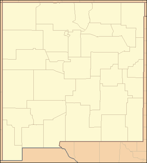 Location of the mouth of the Rio Puerco de Chama in New Mexico
| |
The Rio Puerco de Chama is a tributary of the Rio Chama in the U.S. state of New Mexico. It flows northeast from the Nacimiento Mountains to join the Chama above Abiquiu Lake.
See also
References
This article is issued from Wikipedia - version of the 9/11/2016. The text is available under the Creative Commons Attribution/Share Alike but additional terms may apply for the media files.