Rubkona
| Rubkona | |
|---|---|
| Town | |
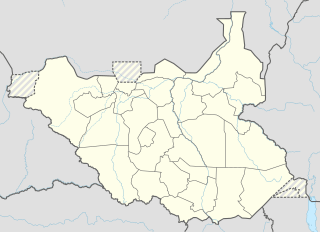 Rubkona Location in South Sudan | |
| Coordinates: 9°17′37″N 29°47′21″E / 9.293485°N 29.789198°ECoordinates: 9°17′37″N 29°47′21″E / 9.293485°N 29.789198°E | |
| Country |
|
| State | Unity State |
| County | Rubkona County |
| Elevation | 1,300 ft (400 m) |
| Population (2006 Estimate) | |
| • Total | 7,700 |
Rubkona (or Rub Kona, Rub-Koni) is a town in Unity State, South Sudan. It lies on the northern bank of the Bahr el Ghazal River, connected by bridge to the state capital Bentiu.[1] This bridge was bombed by Sudanese Mig 29 bombers on Monday, April 23, 2012.[2] Rubkona is the administrative center of Rubkona County.[3]
During the Second Sudanese Civil War (1983-2005), conditions were extremely poor and dangerous. Refugees from the countryside moved to the town for greater safety.[4] After the peace agreement was signed in January 2005 there have been great improvements. The town now has a large market, and roads to the south are being greatly improved.[1] In the rainy season Rubkona is flooded. People must move from one part of town to another to escape the water.[4]
References
- 1 2 "Embattled South Sudan's Bentiu emerges from war". Sudan Tribune. 25 May 2006. Retrieved 2011-09-14.
- ↑ "Sudan MiGs bomb market in South Sudan". CBS News. April 23, 2012. Retrieved 2012-04-24.
- ↑ "Unity State Map" (PDF). UN OCHA. 08/03/10. Retrieved 2011-09-14. Check date values in:
|date=(help) - 1 2 "Sudan: ACF Nutrition survey - Preliminary results report, Rub Kona County, Unity State". Action Contre la Faim. 25 Aug 2008. Retrieved 2011-09-14.
External links
- "Rubkona Satellite Map - 1:7.000" (PDF). UN Sudan Information Gateway. Retrieved 2011-09-14.