Rundemanen
| Rundemanen | |
|---|---|
 Top of Rundemanen | |
| Highest point | |
| Elevation | 568 m (1,864 ft) |
| Coordinates | 60°24′40″N 05°21′40″E / 60.41111°N 5.36111°ECoordinates: 60°24′40″N 05°21′40″E / 60.41111°N 5.36111°E |
| Geography | |
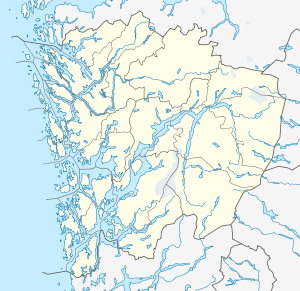 Rundemanen Location in Hordaland | |
| Location | Hordaland, Norway |
| Climbing | |
| Easiest route | Hiking |
Rundemanen is a mountain in the city of Bergen in Hordaland county, Norway. It is considered one of the "seven mountains" which surround the city centre of Bergen. At 568 metres (1,864 ft) in height, it is the second highest of them all. It's a part of the same massif as the neighboring mountains of Fløyen, Blåmanen, and Ulriken, but not easily visible from the city center since it sits behind Fløyen.[1]
In 1912, a road to the top of the mountain was built in order to construct a large radio station tower. The tower was closed down in the 1980s. Rundemanen is a well-known hiking area among the citizens of Bergen.[1]
References
- 1 2 "Rundemanen" (in Norwegian). Bergen byarkiv. Retrieved 2014-09-25.
This article is issued from Wikipedia - version of the 5/29/2015. The text is available under the Creative Commons Attribution/Share Alike but additional terms may apply for the media files.