Sæbø (municipality)
| Sæbø herad | |
|---|---|
| Former Municipality | |
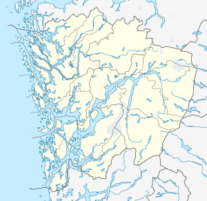 Sæbø herad Location in Hordaland county | |
| Coordinates: 60°36′48″N 05°09′11″E / 60.61333°N 5.15306°ECoordinates: 60°36′48″N 05°09′11″E / 60.61333°N 5.15306°E | |
| Country | Norway |
| Region | Western Norway |
| County | Hordaland |
| District | Nordhordland |
| Municipality ID | NO-1262 |
| Adm. Center | Sæbø |
| Area[1] | |
| • Total | 27 km2 (10 sq mi) |
| Population (1963) | |
| • Total | 946 |
| Time zone | CET (UTC+01:00) |
| • Summer (DST) | CEST (UTC+02:00) |
| Created from | Manger in 1924 |
| Merged into | Radøy in 1964 |
Sæbø is a former municipality in Hordaland county, Norway. The 27-square-kilometre (10 sq mi) municipality existed from 1924 until 1964. It occupied the southern part of the island of Radøy, as well as some small areas on the Lindås peninsula and on the island of Holsnøy. The administrative centre of the municipality was the village of Sæbø, where Sæbø Church is located.[1]
History
The municipality of Sæbø was created on 1 July 1924 when the old municipality of Manger was split into Hordabø, Manger, and Sæbø. Initially, Sæbø had a population of 1,125. On 1 January 1964, the Titland farm area (population: 40) on the Lindås peninsula was transferred to the neighboring Lindås municipality and an uninhabited area of Sæbø on the island of Holsnøy became a part of the neighboring municipality of Meland. The rest of Sæbø, with 916 inhabitants, was merged with the municipalities of Hordabø, Manger, and parts of Lindås, Herdla, and Austrheim to form the new municipality of Radøy.[2]
References
- 1 2 Store norske leksikon. "Sæbø. – kommune" (in Norwegian). Retrieved 2014-04-09.
- ↑ Jukvam, Dag (1999). "Historisk oversikt over endringer i kommune- og fylkesinndelingen" (PDF) (in Norwegian). Statistisk sentralbyrå.