Saidu Sharif Airport
| Saidu Sharif Airport Swat Saidu Sharif Airport د سوات سدو شریف هوائی ډګر | |||||||||||
|---|---|---|---|---|---|---|---|---|---|---|---|
| IATA: SDT – ICAO: OPSS | |||||||||||
| Summary | |||||||||||
| Airport type | Public | ||||||||||
| Operator | Pakistan Civil Aviation Authority | ||||||||||
| Location | Saidu Sharif | ||||||||||
| Elevation AMSL | 3,183 ft / 970 m | ||||||||||
| Coordinates | 34°48′48″N 72°21′10″E / 34.81333°N 72.35278°ECoordinates: 34°48′48″N 72°21′10″E / 34.81333°N 72.35278°E | ||||||||||
| Map | |||||||||||
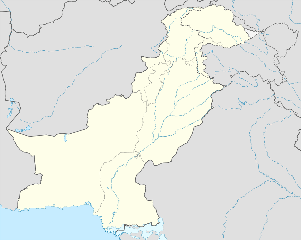 SDT Location of airport in Pakistan | |||||||||||
| Runways | |||||||||||
| |||||||||||
Saidu Sharif Airport (IATA: SDT, ICAO: OPSS) is an airport in Pakistan. It is situated near the Swat River and between villages of Dherai and Kanju in Khyber-Pakhtunkhwa.
The airport was built in 1978, and two flights took place daily to Peshawar and Islamabad. However there is no flight recently.
Many visitors that come to the valley of Swat and to the Malam Jabba ski resort in summers fly to Swat through this airport.
See also
- Airlines of Pakistan
- List of airports in Pakistan
- Malam Jabba
- Pakistan Civil Aviation Authority
- Swat
- Transport in Pakistan
External links
- Book: Hidden Treasures of Swat, ISBN 978-969-23042-0-7
- PIA Flight Schedule
- Airport information for OPSS at World Aero Data. Data current as of October 2006.
This article is issued from Wikipedia - version of the 11/27/2016. The text is available under the Creative Commons Attribution/Share Alike but additional terms may apply for the media files.