Sanchez Peak
Sanchez Peak is a 2,800 metres (9,200 ft) high peak on the ridge that extends eastward to Mount Osborne in southern Sentinel Range of the Ellsworth Mountains, Antarctica. It was named by the Advisory Committee on Antarctic Names (US-ACAN) in 2006 after Richard D. Sanchez of U.S. Geological Survey, a senior physical scientist and specialist in remote sensing, image analysis and the use of GPS and GIS with respect to Antarctic mapping applications.
Location
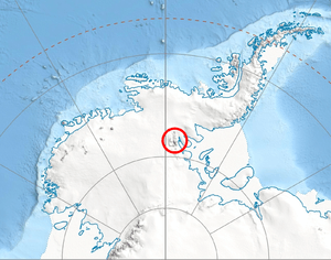
Sanchez Peak is located at 78°38′S 85°00′W / 78.633°S 85.000°WCoordinates: 78°38′S 85°00′W / 78.633°S 85.000°W, which is 2.5 miles (4.0 km) east of Mount Craddock and 1.16 miles (1.87 km) west of Stolnik Peak. US mapping in 1961, updated in 1988.
Maps
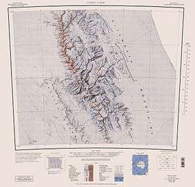
- Vinson Massif. Scale 1:250 000 topographic map. Reston, Virginia: US Geological Survey, 1988.
- Antarctic Digital Database (ADD). Scale 1:250000 topographic map of Antarctica. Scientific Committee on Antarctic Research (SCAR). Since 1993, regularly upgraded and updated.
References
- Sanchez Peak. SCAR Composite Gazetteer of Antarctica.
![]() This article incorporates public domain material from the United States Geological Survey document "Sanchez Peak" (content from the Geographic Names Information System).
This article incorporates public domain material from the United States Geological Survey document "Sanchez Peak" (content from the Geographic Names Information System).