Sandoa Airport
| Sandoa Airport | |||||||||||
|---|---|---|---|---|---|---|---|---|---|---|---|
| IATA: none – ICAO: FZSD | |||||||||||
| Summary | |||||||||||
| Airport type | Public | ||||||||||
| Serves | Sandoa | ||||||||||
| Elevation AMSL | 3,022 ft / 921 m | ||||||||||
| Coordinates | 9°43′05″S 22°55′40″E / 9.71806°S 22.92778°ECoordinates: 9°43′05″S 22°55′40″E / 9.71806°S 22.92778°E | ||||||||||
| Map | |||||||||||
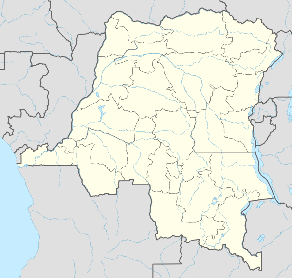 FZSD Location of the airport in | |||||||||||
| Runways | |||||||||||
| |||||||||||
Sandoa Airport (ICAO: FZSD) is an airstrip serving the city of Sandoa in Katanga Province, Democratic Republic of the Congo. The runway is approximately 5 kilometres (3.1 mi) east of the city.
See also
 Democratic Republic of the Congo portal
 Aviation portal
- List of airports in the Democratic Republic of the Congo
References
- ↑ Airport information for FZSD at Great Circle Mapper.
- ↑ Google Maps - Sandoa
External links
This article is issued from Wikipedia - version of the 12/5/2016. The text is available under the Creative Commons Attribution/Share Alike but additional terms may apply for the media files.