Sandve
Not to be confused with Sandved.
| Sandve | |
|---|---|
| Village | |
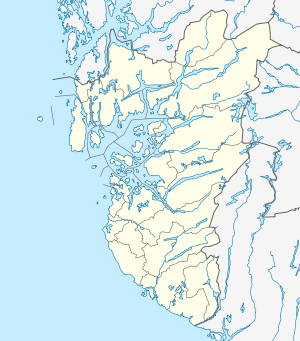 Sandve  Sandve Location in Rogaland county | |
| Coordinates: 59°10′30″N 05°11′45″E / 59.17500°N 5.19583°ECoordinates: 59°10′30″N 05°11′45″E / 59.17500°N 5.19583°E | |
| Country | Norway |
| Region | Western Norway |
| County | Rogaland |
| District | Haugaland |
| Municipality | Karmøy |
| Area[1] | |
| • Total | 0.36 km2 (0.14 sq mi) |
| Elevation[2] | 19 m (62 ft) |
| Population (2014)[1] | |
| • Total | 313 |
| • Density | 869/km2 (2,250/sq mi) |
| Time zone | CET (UTC+01:00) |
| • Summer (DST) | CEST (UTC+02:00) |
| Post Code | 4272 Sandve |
Sandve is a village in Karmøy municipality in Rogaland county, Norway. The village is located on the southwestern part of the island of Karmøy, north of the town of Skudeneshavn, and it faces the Atlantic Ocean to the west. The 0.36-square-kilometre (89-acre) village has a population (2014) of 313, giving the village a population density of 869 inhabitants per square kilometre (2,250/sq mi).[1]
During World War II, the Wehrmacht bombed this village because of connections to the Allied forces.
References
- 1 2 3 Statistisk sentralbyrå (1 January 2014). "Urban settlements. Population and area, by municipality.".
- ↑ "Sandve, Karmøy (Rogaland)" (in Norwegian). yr.no. Retrieved 2015-11-11.
This article is issued from Wikipedia - version of the 8/4/2016. The text is available under the Creative Commons Attribution/Share Alike but additional terms may apply for the media files.