Sangota
| Sangota | |
|---|---|
 Sangota | |
| Coordinates: 34°28′N 72°15′E / 34.47°N 72.25°E | |
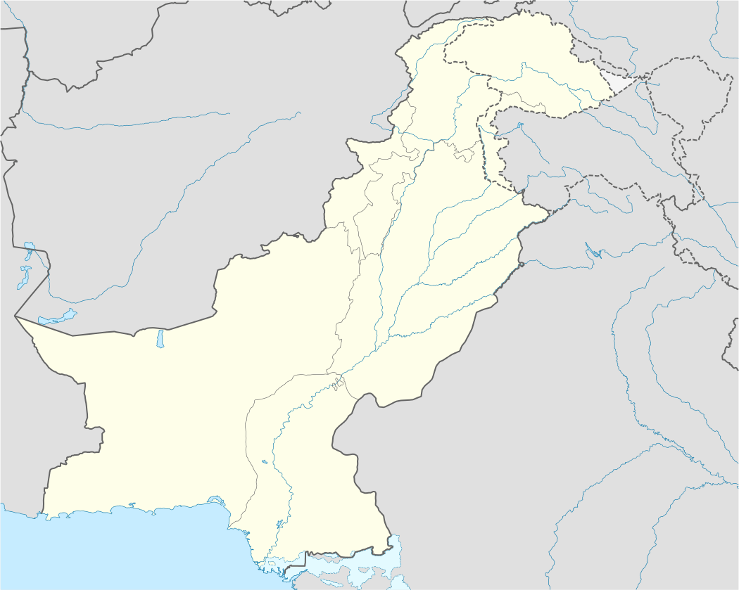
| Country |
|
| Province |
|
| District | Swat |
| Elevation | 1,120 m (3,670 ft) |
| Time zone | PST (UTC+5) |
Sangota is a village in Swat District of Khyber-Pakhtunkhwa. It is located at 34°47'0N 72°25'0E with an altitude of 1120 metres (3677 feet).[1] Catholic Public High School is located in the village.
References
Coordinates: 34°47′00″N 72°25′0″E / 34.78333°N 72.41667°E
This article is issued from Wikipedia - version of the 9/4/2016. The text is available under the Creative Commons Attribution/Share Alike but additional terms may apply for the media files.