Sanphebagar
| Sanphebagar Municipality साँफेबगर नगरपालिका | |
|---|---|
| Municipality | |
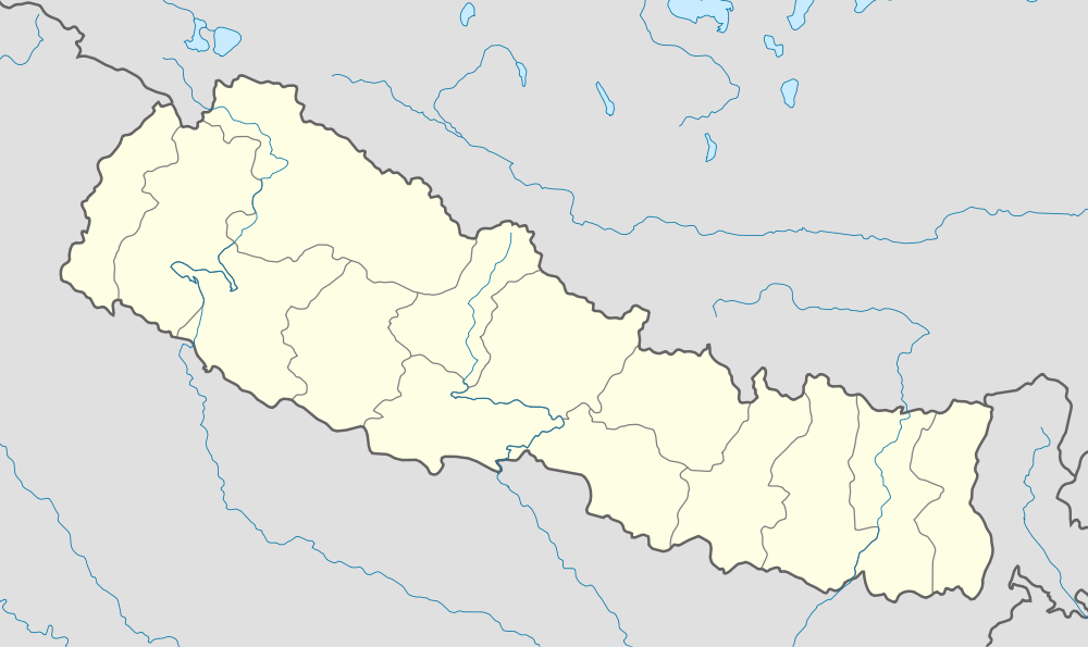 Sanphebagar Municipality Location in Nepal | |
| Coordinates: 29°14′00″N 81°13′05″E / 29.233384°N 81.21809°ECoordinates: 29°14′00″N 81°13′05″E / 29.233384°N 81.21809°E | |
| Country |
|
| Zone | Seti Zone |
| District | Achham District |
| Government | |
| • Type | Municipality |
| Time zone | NST (UTC+5:45) |
Sanphebagar is a municipality of Achham District in the Seti Zone of western Nepal. The government formed a new municipality annexing the former villages i.e. Baijinath, Jalapadevi, Siddheswar, Mastamandau, Nawathana, Bhagyeshwar, Ridikot, Chandika on 18 May 2014.[1][2] Sanphebagar is about 25km north of the district headquarters of Mangalsen.
Sanphebagar has an airstrip (Sanphebagar Airport) that is not currently maintained.
The town is on the bank of Budhi Ganga River.
References
- ↑ 72 new municipalities announced My Republica
- ↑ Govt announces 72 new municipalities The Kathmandu Post

This article is issued from Wikipedia - version of the 5/30/2016. The text is available under the Creative Commons Attribution/Share Alike but additional terms may apply for the media files.