Sarmin
| Sarmin سرمين | |
|---|---|
| Town | |
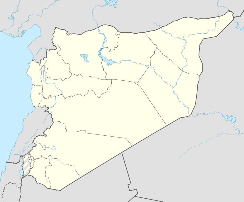 Sarmin Location in Syria | |
| Coordinates: 35°54′12″N 36°43′33″E / 35.90333°N 36.72583°ECoordinates: 35°54′12″N 36°43′33″E / 35.90333°N 36.72583°E | |
| Country |
|
| Governorate | Idlib |
| District | Idlib |
| Subdistrict | Sarmin |
| Elevation | 390 m (1,280 ft) |
| Population (2004)[1] | |
| • Total | 14,530 |
| Time zone | EET (UTC+2) |
| • Summer (DST) | EEST (UTC+3) |
Sarmin (Arabic: سرمين also spelled Sarmeen) is a town in northwestern Syria, administratively part of the Idlib Governorate, located 15 kilometers southeast of Idlib. It has an altitude of about 390 meters. Nearby localities include Binnish to the north, Talhiyah to the northeast, Iffis to the east, Saraqib to the southeast, al-Nayrab to the south and Qmenas to southwest. The Taftanaz Military Airbase is located 9 kilometers (5.6 mi) to the northeast.
According to the Syria Central Bureau of Statistics (CBS), Sarmin had a population of 14,530 in the 2004 census. It is the only locality in the Sarmin nahiyah ("subdistrict").[1] Its inhabitants are predominantly Sunni Muslims.[2]
History
Medieval period
Sarmin was the site of a major military confrontation between the Crusaders and the Seljuk Turks. In the 13th century the town was celebrated, though small, and the inhabitants were Ismailis, according to Yaqut al-Hamawi.[3] The Ayyubid ruler of Hama and scholar Abu'l-Fida described Sarmin as a town with much land and dependencies, with very fertile soil. The town had a Friday mosque and lacked walls.[3] In 1355 Sarmin was visited by Ibn Batutah, who wrote of the abundance of trees, mostly olives, growing there. Soap-making was widely practiced, and their "brick soap" was exported to Damascus and Cairo. In addition, a perfumed soap, colored red and yellow, was produced. Cotton products were also made. He also made reference to a "fine" mosque with nine domes.[3]
Syrian civil war
It has been shelled during the Syrian civil war, with one of its mosques being severely damaged.[4]
References
- 1 2 General Census of Population and Housing 2004. Syria Central Bureau of Statistics (CBS). Idlib Governorate. (Arabic)
- ↑ Oweis, Khaled Yacoub. Syrian opposition won't talk to officials linked to crackdown. Reuters. 2013-02-15.
- 1 2 3 le Strange, 1890, p. 532
- ↑ Cantlie, John (31 March 2012). "Syria eyewitness dispatch: 'I watched as Assad's tanks rolled in to destroy a rebel town'". Daily Telegraph. Retrieved 18 August 2012.
Bibliography
- le Strange, Guy (1890). Palestine Under the Moslems: A Description of Syria and the Holy Land from A.D. 650 to 1500. Committee of the Palestine Exploration Fund.