Scaniport
Coordinates: 57°25′43″N 4°16′57″W / 57.428642°N 4.2825255°W
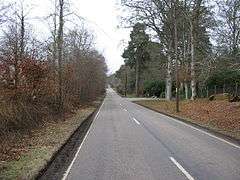
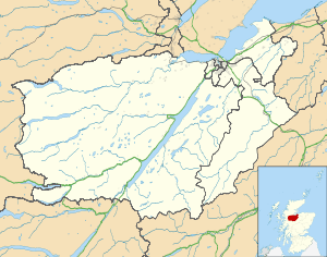
Scaniport (Scottish Gaelic: Sganaphort) is a small settlement located on the B862, roughly between Inverness to the north and Dores to the south, in the Highland council area of Scotland. The Gaelic name Sganaphort is translated into English as 'Ferry By The Crack', a reference to Scaniport's close proximity to the Great Glen Fault.
Farms are situated either side of the settlement. A camping and caravan park was located in the area, but it closed a number of years ago.[1] A stone circle and kerb cairn named Kinchyle Of Dores is located just to the south of Scaniport.[2] The northern shore of Loch Ness lies four miles to the southwest.
References
- ↑ "Small selected North Scotland Camping and Caravaning sites". Retrieved 11 September 2016.
- ↑ Map, The Megalithic Portal and Megalith. "Kinchyle Of Dores". Retrieved 11 September 2016.
| Wikimedia Commons has media related to Scaniport. |
This article is issued from Wikipedia - version of the 9/11/2016. The text is available under the Creative Commons Attribution/Share Alike but additional terms may apply for the media files.