Sendhwa Tehsil
| Sendhwa Tehsil सेंधवा तहसील | |
|---|---|
| Tehsil | |
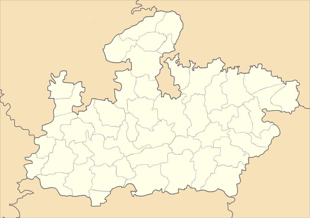 Sendhwa Tehsil Location in Madhya Pradesh | |
| Coordinates: 21°41′42″N 075°05′33″E / 21.69500°N 75.09250°ECoordinates: 21°41′42″N 075°05′33″E / 21.69500°N 75.09250°E | |
| Country |
|
| State | Madhya Pradesh |
| District | Barwani district |
| Government | |
| • Type | Panchayat Samiti |
| • Body | Council |
| Area[1][2] | |
| • Tehsil | 815.78 km2 (314.97 sq mi) |
| • Rural[1] | 815.78 km2 (314.97 sq mi) |
| Population (2011)[1][2] | |
| • Tehsil | 303,554 |
| • Density | 370/km2 (960/sq mi) |
| Languages | |
| • Official | Hindi |
| Time zone | IST (UTC+5:30) |
| Postal code (PIN) | 451666 |
| Area code(s) | 07281 |
| Vehicle registration | MP 46 |
| No. of Villages | 78 |
Sendhwa Tehsil is an administrative subdivision (tehsil or tahsil) in Barwani District, Madhya Pradesh (state) of India. Its headquarters is in the town of Sendhwa. Sendhwa is the biggest revenue generating tehsil in the Barwani District. Sendhwa Tehsil has the highest population of any tehsil in Barwani district.[1]
History
The fort and town of Sendhwa gave their name to the area, that was a tehsil under the
On 15 December 2010, Warla Tehsil was separated from Sendhwa Tehsil.[3]
Geography
Sendhwa Tehsil is southwest of the district headquarters, Barwani. It is bounded by Warla Tehsil to the south, Niwali Tehsil to the east, and Rajpur Tehsil to the north, all of Barwani District, and by Bhagwanpura Tehsil of Khargone District (West Nimar District) to the west.[4]
Settlements
As of 2011, Sendhwa Tehsil had one statutory town (nagar palika), Sendhwa, and seventy-eight villages, one of which was uninhabited.[5]
Economy
The tehsil is primarily agricultural and forest lands. Mechanised farming has only been recently introduced.[6] Cotton is a big crop,[7] as are pulses, such as mung beans and moth beans.[8] Other crops include wheat, sorghum (jowar), maize, millet (kodo-kutki), especially pearl millet (bajra), rapeseed (canola), mustard, and urd and other pulses (gram).[9]
Regular markets are held in the town of Sendhawa and the villages of Chacria (Chachariya Pati), Dhanori, and Zopali (Jhopali, Jopali).[10] The village of Babdd Bhagoriya has a once-a-year market and festival.[10]
The only real industry is cotton processing.[11]
Demographics
Sendhwa Tehsil had 303,554 people as of the 2011 census, not including the 56,485 in the town of Sendhwa; for a total of 360,039.[1]
Notes and references
- 1 2 3 4 5 Sinha 2015, p. 24
- 1 2 The 25 km2 (10 sq mi) and 56,485 population of the town of Sendhwa were not included as part of the tehsil for census purposes.
- ↑ "जुलवानिया-वरला हो सकते हैं बेहतर विकल्प" (in Hindi). Nai Dunia (नईदुनिया). 14 October 2014. Archived from the original on 30 August 2015.
- ↑ "Tehsil Map of Barwani". Maps of India. Archived from the original on 30 August 2015.
- ↑ Sinha, Sachin et al., Directorate of Census Operations, Madhya Pradesh (2015). District Census Handbook, Barwani, Census of India 2011: Village and Town Wise Primay Census Abstract (PDF). Series-24, PART XII-B. p. 12. Archived (PDF) from the original on 30 August 2015.
- ↑ Pawar, Aarti & Kusumakar, Aruna (2013). "कृषि मे यंत्रीकरण का ग्रामीण अर्थव्यवस्था पर प्रभाव का अध्ययन (सेंधवा तहसील के विशेष संदर्भ मे )" [A Study of the Impact of the Mechanization of Agriculture in a Rural Economy (in reference to Sendhawa Tehsil)] (PDF). Review Of Research Journal (in Hindi). 3 (2). Archived (PDF) from the original on 30 August 2015.
- ↑ Superintendent of Census Operations; Madhya Pradesh (1964). District Census Handbook, Madhya Pradesh, Census of India 1961. Volume 41 of District Census Handbook. Indore, India: Government of Madhya Pradesh. p. lxix.
- ↑ Jain, C. K. (1988). Patterns of Agricultural Development in Madhya Pradesh. New Delhi: Northern Book Centre. p. 116. ISBN 978-81-85119-41-0.
- ↑ Jain 1988, p. 112
- 1 2 "जिले की 9 तहसीलों में लगने वाले हाट-बाजार" (in Hindi). Public Relations Department, Government of Madhya Pradesh.
- ↑ Superintendent 1988, p. lxxvi