Senjahopen
| Senjahopen | |
|---|---|
| Village | |
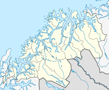 Senjahopen  Senjahopen Location in Troms | |
| Coordinates: 69°29′53″N 17°29′29″E / 69.49806°N 17.49139°ECoordinates: 69°29′53″N 17°29′29″E / 69.49806°N 17.49139°E | |
| Country | Norway |
| Region | Northern Norway |
| County | Troms |
| District | Midt-Troms |
| Municipality | Berg |
| Area[1] | |
| • Total | 0.31 km2 (0.12 sq mi) |
| Elevation[2] | 0.5 m (1.6 ft) |
| Population (2013)[1] | |
| • Total | 265 |
| • Density | 855/km2 (2,210/sq mi) |
| Time zone | CET (UTC+01:00) |
| • Summer (DST) | CEST (UTC+02:00) |
| Post Code | 9386 Senjahopen |
Senjahopen or Senjehopen is a village in the municipality of Berg in Troms county, Norway. Its population (2009) is 291.[3] Senjahopen is located along the Mefjorden on the northwest part of the large island of Senja, where it is one of the most important fishing villages on the island. Another nearby fishing village is Mefjordvær, which located about 3 kilometres (1.9 mi) to the northwest.[4]
Although Senjahopen is about 10 km (6.2 mi) north of the municipal center of Skaland, the trip took well over an hour to drive, until 2004 when the Geitskartunnelen opened. The new road under the mountains cut about 95 km (59 mi) off of the trip between the two villages.
The 0.31-square-kilometre (77-acre) village has a population (2013) of 265, giving the village a population density of 855 inhabitants per square kilometre (2,210/sq mi).[1]
References
- 1 2 3 Statistisk sentralbyrå (1 January 2013). "Urban settlements. Population and area, by municipality.".
- ↑ "Senjahopen" (in Norwegian). yr.no. Retrieved 2012-12-03.
- ↑ Statistisk sentralbyrå (1 January 2009). "Urban settlements. Population and area, by municipality.".
- ↑ Store norske leksikon. "Senjahopen" (in Norwegian). Retrieved 2012-12-03.