Shingbwiyang
| Shingbwiyang ရှင်ဗွေယန်မြို့ | |
|---|---|
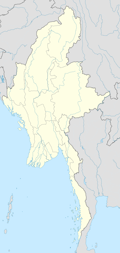 Shingbwiyang Location in Myanmar | |
| Coordinates: 26°40′N 96°13′E / 26.667°N 96.217°ECoordinates: 26°40′N 96°13′E / 26.667°N 96.217°E | |
| Country |
|
| State | Kachin State |
| District | Myitkyina District |
| Township | Tanai Township |
| Population (2014) | 11,453[1] |
| Time zone | MST (UTC+6.30) |
Shingbwiyang [Shingbuiyang/Tawa], Kachin State, is a town in Burma. The town was located in the China Burma India Theater during World War II and the Ledo Road and an airbase were built there during this period. It is also known as Tawa Gaq (a local Naga term). There are 90 pernecent majority of Naga people living in the township. It is linked to Tarung which is also a big Naga village adjoined with Tanai Town and to the north-west links with Nanyun (Taiyawng) Town.
References
- ↑ Census Report. The 2014 Myanmar Population and Housing Census. Volume-2. Naypyitaw: Ministry of Immigration and Population. May 2015. p. 49.
Capital: | |
|
Capital: Myitkyina | ||
| Bhamo District |  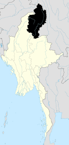 | |
| Mohnyin District | ||
| Myitkyina District | ||
| Putao District | ||
| Main cities and towns | ||
This article is issued from Wikipedia - version of the 8/8/2016. The text is available under the Creative Commons Attribution/Share Alike but additional terms may apply for the media files.