Shubra El Kheima
| Shubra El Kheima شبرا الخيمة | |
|---|---|
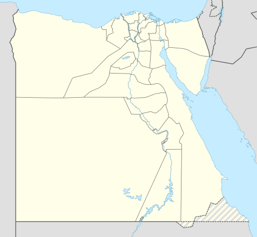 Shubra El Kheima Location in Egypt | |
| Coordinates: 30°7′43″N 31°14′32″E / 30.12861°N 31.24222°E | |
| Country |
|
| Governorate | Qalyubia |
| Area | |
| • Total | 270.68 km2 (104.51 sq mi) |
| • Land | 270.68 km2 (104.51 sq mi) |
| Elevation | 16 m (52 ft) |
| Population (2012) | |
| • Total | 1,099,354 |
| • Density | 4,100/km2 (11,000/sq mi) |
| Time zone | EET (UTC+2) |
Shubra El Kheima, (Arabic: شبرا الخيمة, IPA: [ˈʃobɾɑ lˈxeːmæ]) is the fourth largest city in Egypt. It is located in the Qalyubia Governorate around 30°7′43″N 31°14′32″E / 30.12861°N 31.24222°ECoordinates: 30°7′43″N 31°14′32″E / 30.12861°N 31.24222°E and along the northern edge of the Cairo Governorate. It forms part of the Greater Cairo agglomeration.
Demographics
Shubra El Kheima was primarily inhabited by workers (and their families), who have worked in surrounding factories since the 1940s. However, recently it contains the great expansion of Greater Cairo towards the north as a consequence of migration from rural areas. Its population was 1,016,722 at the 2006 Census. It is administered as two kism (wards):[1]
- Shubra El Kheima 1 10.41 km2, 461,689 people, borders Nile River, with city railway station
- Shubrā El Kheima 2 17.27 km2, 563,880 people, inland, includes Bahtim
Transportation
Shubra El Kheima is the northern terminus of Line 2 of the Cairo Metro.
Landmarks
Shubra El Kheima hosts the famous Assem Elaraby Palace of As Elaraby pasha.
References and Notes
External links
![]() Media related to Shubra El-Kheima at Wikimedia Commons
Media related to Shubra El-Kheima at Wikimedia Commons
Districts and suburbs of Greater Cairo | ||||||||||||||||
|---|---|---|---|---|---|---|---|---|---|---|---|---|---|---|---|---|
| Cairo Governorate |
| |||||||||||||||
| Giza Governorate |
| |||||||||||||||
| Qalyubia Governorate |
| |||||||||||||||