Signal Peak (Orange County, California)
For other mountains by this name, see List of peaks named Signal.
| Signal Peak | |
|---|---|
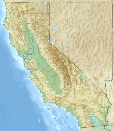 Signal Peak Location in California | |
| Highest point | |
| Elevation | 1,168 ft (356 m) NAVD 88[1] |
| Prominence | 794 ft (242 m) [2] |
| Coordinates | 33°36′22″N 117°48′43″W / 33.606009525°N 117.811979397°WCoordinates: 33°36′22″N 117°48′43″W / 33.606009525°N 117.811979397°W [1] |
| Geography | |
| Location | Orange County, California, U.S. |
| Parent range | San Joaquin Hills |
| Topo map | USGS Laguna Beach |
Signal Peak is the highest point in the San Joaquin Hills area of Orange County, California, United States. Its elevation is 1,164 feet (355 m). The peak is visible in the southern sky in most of north Orange County, and from far southern Los Angeles County. Signal Peak overlooks the University of California, Irvine, to the north and Crystal Cove State Park to the south and southeast. It is the first and highest peak that one encounters traveling southbound on State Route 73. It is a major two-way radio site for Orange County.
Signal Peak also serves as a visual reporting checkpoint for incoming private aircraft from the south, inbound to land at John Wayne Airport.
References
- 1 2 "San Joaquin". NGS data sheet. U.S. National Geodetic Survey. Retrieved 2014-03-07.
- ↑ "Signal Peak, California". Peakbagger.com. Retrieved 2014-03-07.
External links
This article is issued from Wikipedia - version of the 7/6/2016. The text is available under the Creative Commons Attribution/Share Alike but additional terms may apply for the media files.