Sky King Airport
| Sky King Airport | |||||||||||||||
|---|---|---|---|---|---|---|---|---|---|---|---|---|---|---|---|
| IATA: none – ICAO: none – FAA LID: 3I3 | |||||||||||||||
| Summary | |||||||||||||||
| Airport type | Public | ||||||||||||||
| Owner | Sky King Airport, Inc. | ||||||||||||||
| Serves | Terre Haute, Indiana | ||||||||||||||
| Elevation AMSL | 496 ft / 151 m | ||||||||||||||
| Coordinates | 39°32′52″N 87°22′38″W / 39.54778°N 87.37722°WCoordinates: 39°32′52″N 87°22′38″W / 39.54778°N 87.37722°W | ||||||||||||||
| Maps | |||||||||||||||
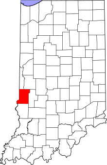 Location of Vigo County in Indiana | |||||||||||||||
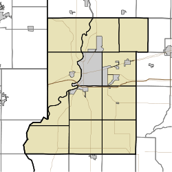 3I3 Location of airport in Vigo County | |||||||||||||||
| Runways | |||||||||||||||
| |||||||||||||||
| Statistics (2008) | |||||||||||||||
| |||||||||||||||
Sky King Airport (FAA LID: 3I3) is a public use airport located five nautical miles (9 km) north of the central business district of Terre Haute, a city in Vigo County, Indiana, United States.[1]
Facilities and aircraft
Sky King Airport covers an area of 33 acres (13 ha) at an elevation of 496 feet (151 m) above mean sea level. It has two asphalt paved runways: 8/26 is 3,557 by 50 feet (1,084 x 15 m) and 18/36 is 1,978 by 50 feet (603 x 15 m).[1]
For the 12-month period ending December 31, 2008, the airport had 23,015 aircraft operations, an average of 63 per day: 95% general aviation and 5% air taxi. At that time there were 39 aircraft based at this airport: 87% single-engine and 13% multi-engine.[1]
References
- 1 2 3 4 FAA Airport Master Record for 3I3 (Form 5010 PDF). Federal Aviation Administration. Effective 3 June 2010.
External links
- Brown Flying School, flight school and fixed-base operator (FBO)
- Aerial image as of 24 February 1998 from USGS The National Map
- FAA Terminal Procedures for 3I3, effective December 8, 2016
- Resources for this airport:
- FAA airport information for 3I3
- AirNav airport information for 3I3
- FlightAware airport information and live flight tracker
- SkyVector aeronautical chart for 3I3
This article is issued from Wikipedia - version of the 12/4/2016. The text is available under the Creative Commons Attribution/Share Alike but additional terms may apply for the media files.