Somers Historic District
|
Somers Historic District | |
|
The former Free Public Library building | |
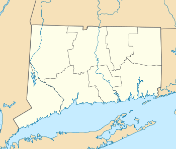  | |
| Location | Main and Battle Sts., Bugbee Lane, and Springfield Rd., Somers, Connecticut |
|---|---|
| Coordinates | 41°59′7″N 72°26′48″W / 41.98528°N 72.44667°WCoordinates: 41°59′7″N 72°26′48″W / 41.98528°N 72.44667°W |
| Area | 100 acres (40 ha) |
| Architect | Multiple |
| Architectural style | Greek Revival, Colonial, Federal |
| NRHP Reference # | 82004389[1] |
| Added to NRHP | September 23, 1982 |

Somers Historic District is a 100-acre (40 ha) historic district in Somers, Connecticut that was listed on the National Register of Historic Places in 1982. The district encompasses the historic center of the town, which stretches along Main Street, with extensions along Springfield Road and Battle Street. Most of the buildings are early 19th-century residences, with Federal or Greek Revival style, although there are a selection of later 19th century styles represented as well. The older properties are largely clustered in three places: on Springfield Road near Main, the eastern end of Main Street, and the area just west of where the modern (1950) town hall stands.[2]
See also
- Somersville Historic District, also NRHP-listed in Somers
- National Register of Historic Places listings in Tolland County, Connecticut
References
| Wikimedia Commons has media related to Somers Historic District. |
- ↑ National Park Service (2009-03-13). "National Register Information System". National Register of Historic Places. National Park Service.
- ↑ Bruce Clouette and John Herzan (May 25, 1979). "NRHP Inventory-Nomination: Somers Historic District" (PDF). National Park Service. and Accompanying 22 photos, exterior and interior, from 1979
| Lists by county |   | |
|---|---|---|
| Lists by city or town | ||
| Other lists | ||
This article is issued from Wikipedia - version of the 11/29/2016. The text is available under the Creative Commons Attribution/Share Alike but additional terms may apply for the media files.