Southern Cross, Western Australia
| Southern Cross Western Australia | |||||||
|---|---|---|---|---|---|---|---|
 Southern Cross townsite | |||||||
 Southern Cross | |||||||
| Coordinates | 31°13′50″S 119°19′40″E / 31.23056°S 119.32778°ECoordinates: 31°13′50″S 119°19′40″E / 31.23056°S 119.32778°E | ||||||
| Population | 762 (2011 census)[1] | ||||||
| Established | 1890 | ||||||
| Postcode(s) | 6426 | ||||||
| Elevation | 355 m (1,165 ft) | ||||||
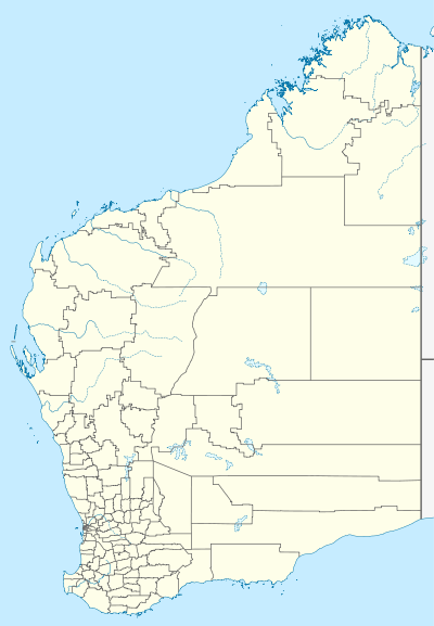
| Location |
| ||||||
| LGA(s) | Shire of Yilgarn | ||||||
| State electorate(s) | Eyre | ||||||
| Federal Division(s) | O'Connor | ||||||
| |||||||
Southern Cross is a town in Western Australia, 371 kilometres east of state capital Perth on the Great Eastern Highway. It was founded by gold prospectors in 1888, and gazetted in 1890.[2] It is the major town and administrative centre of the Shire of Yilgarn.[3] At the 2011 census, Southern Cross had a population of 762.[1]
The town of Southern Cross is one of the many towns that run along the Goldfields Water Supply Scheme pipeline from Mundaring to Kalgoorlie, engineered by C. Y. O'Connor,[4] and as a consequence is an important location on the Golden Pipeline Heritage Trail.
A succession of gold rushes in the Yilgarn region near Southern Cross in 1887, at Coolgardie in 1892, and at Kalgoorlie in 1893 caused a population explosion in the barren and dry desert centre of Western Australia.
It is named after the Southern Cross constellation, and the town's streets are named after constellations and stars.[5][6][7]
The surrounding areas produce wheat and other cereal crops. The town is a receival site for Cooperative Bulk Handling.[8]
Southern Cross is in the Federal electorate of O'Connor.[9]
Railway station
Southern Cross railway station is on the standard gauge railway from Perth to Kalgoorlie. The construction and opening of the line from Perth was completed on 1 May 1967, and the connection to Kalgoorlie via Koolyanobbing was completed by 4 November 1968.[10]
The Prospector and Indian Pacific passenger trains service the town.
Narrow gauge route
The former narrow gauge route of the Eastern Goldfields Railway reached Southern Cross on 1 July 1894.[11][12][13] and the Southern Cross to Coolgardie narrow gauge railway (via Boorabbin) was closed 29 November 1971.[14]
In 1932 the Wheat Pool of Western Australia announced that the town would have two grain elevators, each fitted with an engine, installed at the railway siding.[15]
See also
References
- 1 2 Australian Bureau of Statistics (31 October 2012). "Southern Cross (State Suburb)". 2011 Census QuickStats. Retrieved 30 October 2012.
- ↑ Western Australian Land Information Authority. "History of country town names – S". Retrieved 18 February 2008.
- ↑ "Shire of Yilgarn, Western Australia". Shire of Yilgarn. Retrieved 18 February 2008.
- ↑ "Southern Cross". Heritage Australia. Retrieved 18 February 2008.
- ↑ Western Australian Land Information Authority. "History of country town names – S". Retrieved 2008-02-15.
- ↑ "YAS – Information Southern Cross". yilgarn.com.au. 2013. Retrieved 24 January 2014.
- ↑ "Southern Cross". The Sydney Morning Herald. February 8, 2004. Retrieved January 24, 2014.
- ↑ "CBH receival sites" (PDF). 2011. Retrieved 1 April 2013.
- ↑ "Australian Electoral Commission website". Australian Electoral Commission. Retrieved 26 February 2015.
- ↑ Quinlan, Howard; Newland, John R; Australian Railway Historical Society. New South Wales Division (2000). Australian railway routes 1854 to 2000. Australian Railway Historical Society – New South Wales Division. p. 63. ISBN 978-0-909650-49-0
- ↑ Milne, Rod Wheat, Gold and Humming Birds: Southern Cross in Diesel Days Australian Railway Historical Society Bulletin, December, 2001 pp443-449
- ↑ Searle, M. J (January 1983). "The Eastern and Eastern Goldfields Railways [Series of parts] Part 1: construction and opening". RIM: Western Australian Railways Institute Magazine. 80 (Jan 1983): 3–8. Retrieved 12 November 2012
- ↑ Searle, M. J (February 1983). "The Eastern and Eastern Goldfields Railways [Series of parts] Part 2. – Constructions of extensions-". RIM: Western Australian Railways Institute Magazine. 80 (Feb 1983): 2–3, 5–6. Retrieved 12 November 2012
- ↑ page 67 Quinlan, Howard; Newland, John R; Australian Railway Historical Society. New South Wales Division (2000). Australian railway routes 1854 to 2000. Australian Railway Historical Society – New South Wales Division. ISBN 978-0-909650-49-0
- ↑ "Country elevators". The West Australian. Perth: National Library of Australia. 6 July 1932. p. 10. Retrieved 6 April 2013.