Southern Cross Mountains
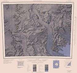
1:250,000 scale topographic map of the Southern Cross Mountains.
Southern Cross Mountains is the name applied to the group of Antarctic mountain ranges lying between the Mariner and Priestley Glaciers in Victoria Land. Seaward parts of this area were first viewed by Ross in 1841 and subsequently by expeditions led by Borchgrevink, Scott, Shackleton and Byrd. The precise mapping of its overall features was accomplished from U.S. Navy air photographs and surveys by New Zealand and American parties in the 1950s and 1960s. Named by the northern party of NZGSAE, 1965-66.
References
Coordinates: 73°40′S 164°00′E / 73.667°S 164.000°E
This article is issued from Wikipedia - version of the 11/21/2015. The text is available under the Creative Commons Attribution/Share Alike but additional terms may apply for the media files.