Stangnes
| Stangnes | |
|---|---|
| Part of a town | |
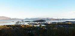
|
View of the south-eastern part of the area | |
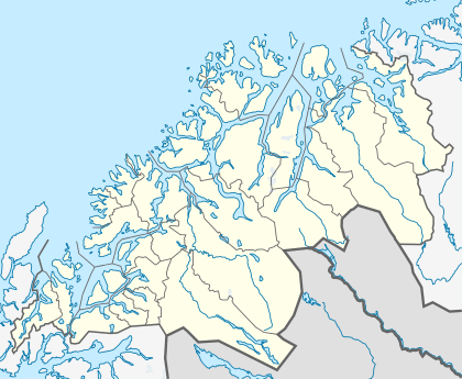 Stangnes Location in Troms | |
| Coordinates: 68°47′22″N 16°35′57″E / 68.78944°N 16.59917°ECoordinates: 68°47′22″N 16°35′57″E / 68.78944°N 16.59917°E | |
| Country | Norway |
| Region | Northern Norway |
| County | Troms |
| District | Central Hålogaland |
| Municipality | Harstad |
| Elevation[1] | 1 m (3 ft) |
| Time zone | CET (UTC+01:00) |
| • Summer (DST) | CEST (UTC+02:00) |
Stangnes is part of the town of Harstad in the municipality of Harstad in Troms county, Norway. It is located on a small peninsula southeast of the city center, on the south and east sides of the Gansåsen hill. The neighborhood is bordered by Gangsås and Åsby to the west, Kanebogen to the southwest and the Vågsfjorden to the north and east.[2] Many people live in the area, where the Stangneslia barnehage (kindergarten), Stangnes barneskole (primary school), and Stangnes videregående skole (high school) are all located.
The southeastern part of Stangnes is a large industrial area called Stangnesbasen. This area was built in the 1980s to provide for those involved in the oil industry in the Barents Sea. The Stangnesodden headland to the northeast contains a former military base.
References
- ↑ "Stangnes" (in Norwegian). yr.no. Retrieved 2012-08-29.
- ↑ "Map". FINN.no.