Stony Heap
Coordinates: 54°51′25″N 1°46′26″W / 54.857°N 1.774°W
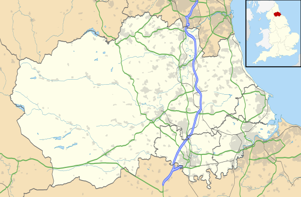
Stony Heap is a hamlet in County Durham, in England. It is situated between Leadgate and Annfield Plain.
References
there used to be 6 houses and 2 farms plus the pit now there is 1 house and 1 farm
External links
This article is issued from Wikipedia - version of the 3/23/2013. The text is available under the Creative Commons Attribution/Share Alike but additional terms may apply for the media files.