Stugudalen
| Stugudalen | |
|---|---|
| Village | |
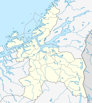 Stugudalen  Stugudalen Location in Sør-Trøndelag | |
| Coordinates: 62°54′28″N 11°53′34″E / 62.90778°N 11.89278°ECoordinates: 62°54′28″N 11°53′34″E / 62.90778°N 11.89278°E | |
| Country | Norway |
| Region | Trøndelag |
| County | Sør-Trøndelag |
| Municipality | Tydal |
| Elevation[1] | 627 m (2,057 ft) |
| Time zone | CET (UTC+01:00) |
| • Summer (DST) | CEST (UTC+02:00) |
| Post Code | 7590 Tydal |
Stugudalen is a village in the municipality of Tydal in Sør-Trøndelag county, Norway. The village is located along the lake Stuggusjøen, about 20 kilometres (12 mi) southeast of the municipal center of Ås and about 6 kilometres (3.7 mi) south of the lake Nesjøen. The village is primarily a tourist area with many summer cabins near the lake. The Stugudal Chapel is located in the village.
References
- ↑ "Stugudalen" (in Norwegian). yr.no. Retrieved 2011-03-02.
This article is issued from Wikipedia - version of the 8/5/2016. The text is available under the Creative Commons Attribution/Share Alike but additional terms may apply for the media files.