Sura Surani
| Sura Surani | |
|---|---|
 Sura Surani | |
| Highest point | |
| Elevation | 4,840 m (15,880 ft) [1] |
| Coordinates | 16°21′24″S 67°55′06″W / 16.35667°S 67.91833°WCoordinates: 16°21′24″S 67°55′06″W / 16.35667°S 67.91833°W |
| Geography | |
| Location |
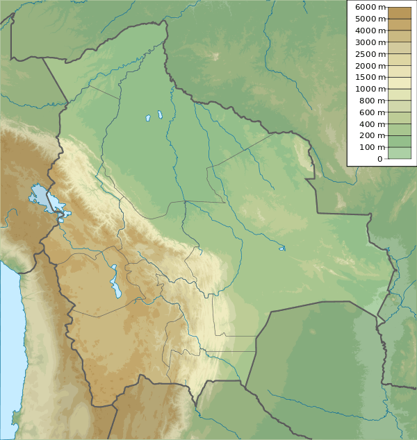
Bolivia La Paz Department |
| Parent range | Andes |
Sura Surani (Aymara sura dry jiquima, a species of Pachyrhizus,[2] the reduplication indicates that there is a group of something, -ni a suffix, "the one with a lot of dry jiquima", also spelled Sora Sorani) is a mountain in the Bolivian Andes which reaches a height of approxilamtely 4,840 m (15,880 ft). It is situated in the La Paz Department, Sud Yungas Province, Yanacachi Municipality. Sura Surani lies northeast of Mik'aya.[3]
References
- ↑ Bolivian IGM map 1:50,000 Chojlla 6044-IV
- ↑ Radio San Gabriel, "Instituto Radiofonico de Promoción Aymara" (IRPA) 1993, Republicado por Instituto de las Lenguas y Literaturas Andinas-Amazónicas (ILLLA-A) 2011, Transcripción del Vocabulario de la Lengua Aymara, P. Ludovico Bertonio 1612 (Spanish-Aymara-Aymara-Spanish dictionary) see: Jiquima seca
- ↑ "Yanacachi". INE, Bolivia. Retrieved August 26, 2014.
This article is issued from Wikipedia - version of the 2/14/2016. The text is available under the Creative Commons Attribution/Share Alike but additional terms may apply for the media files.