T'ikapallana
| T'ikapallana | |
|---|---|
 T'ikapallana Peru | |
| Highest point | |
| Elevation | 4,304.1 m (14,121 ft) [1] |
| Coordinates | 14°22′15″S 71°51′12″W / 14.37083°S 71.85333°WCoordinates: 14°22′15″S 71°51′12″W / 14.37083°S 71.85333°W |
| Geography | |
| Location | Peru, Cusco Region, Chumbivilcas Province |
| Parent range | Andes |
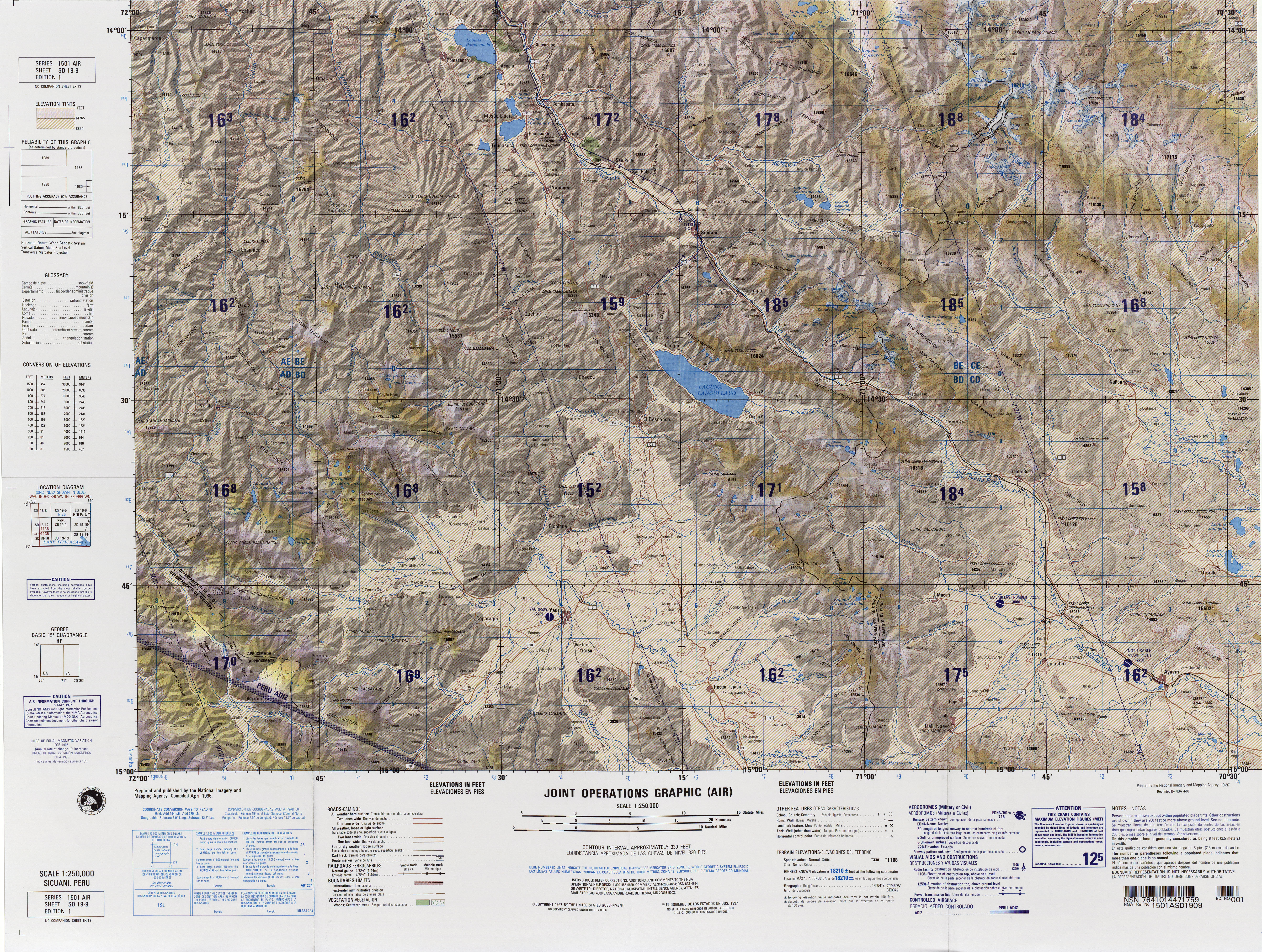
T'ikapallana (Quechua t'ika flower, pallay to collect, pallana an instrument to collect fruit / collectable,[2][3] "a place where you collect flowers", hispanicized spelling Ticapallana) is a mountain in the Andes of Peru. Its summit reaches about 4,304.1 m (14,121 ft) above sea level. T'ikapallana is situated in the Cusco Region, Chumbivilcas Province, Chamaca District.[4]
References
- ↑ "South America Maps". Joint Operations Graphic. Retrieved June 30, 2014.
- ↑ Teofilo Laime Ajacopa, Diccionario Bilingüe Iskay simipi yuyayk'ancha, La Paz, 2007 (Quechua-Spanish dictionary)
- ↑ Diccionario Quechua - Español - Quechua, Academía Mayor de la Lengua Quechua, Gobierno Regional Cusco, Cusco 2005 (Quechua-Spanish dictionary)
- ↑ escale.minedu.gob.pe - UGEL map of the Chumbivilcas Province (Cusco Region)
This article is issued from Wikipedia - version of the 12/7/2015. The text is available under the Creative Commons Attribution/Share Alike but additional terms may apply for the media files.