T'utura
| T'utura | |
|---|---|
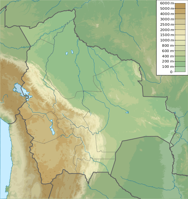 T'utura Location in Bolivia | |
| Highest point | |
| Elevation | 4,242 m (13,917 ft) [1] |
| Coordinates | 17°24′20″S 66°40′53″W / 17.40556°S 66.68139°WCoordinates: 17°24′20″S 66°40′53″W / 17.40556°S 66.68139°W |
| Geography | |
| Location |
Bolivia, Cochabamba Department |
| Parent range | Andes |
T'utura (Quechua for Schoenoplectus californicus,[2] also spelled Totora) is a 4,242 m (13,917 ft) high mountain in the Bolivian Andes. It is located in the Cochabamba Department, in the northern part of the Tapacari Province. T'utura lies northwest of Warawarani and northeast of Waylluma.[1][3]
References
- 1 2 Bolivia 1:50,000 Mazo Cruz 6241-I
- ↑ Teofilo Laime Ajacopa, Diccionario Bilingüe Iskay simipi yuyayk'ancha, La Paz, 2007 (Quechua-Spanish dictionary)
- ↑ "Tapacari". INE, Bolivia. Retrieved March 25, 2016.
Capital: Cochabamba | ||
| Provinces |  | |
| Municipalities (and seats) |
| |
This article is issued from Wikipedia - version of the 3/25/2016. The text is available under the Creative Commons Attribution/Share Alike but additional terms may apply for the media files.