Taghmon (townland, County Westmeath)
| Taghmon Tigh Munna | |
|---|---|
| Townland | |
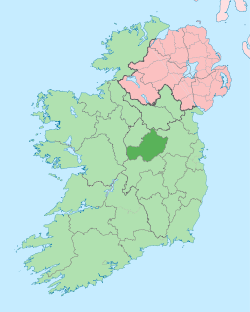
 Taghmon Location of Taghmon within County Westmeath in the Republic of Ireland | |
| Coordinates: 53°36′14″N 7°15′41″W / 53.60389°N 7.26139°WCoordinates: 53°36′14″N 7°15′41″W / 53.60389°N 7.26139°W | |
| Country |
|
| Province | Leinster |
| County | County Westmeath |
| Irish grid reference | N489617 |
Taghmon (Irish: Tigh Munna)[1] is a townland in County Westmeath, Ireland. It is located about 10.35 kilometres (6 mi) north–north–east of Mullingar.
Taghmon is one of 11 townlands of the civil parish of Taghmon in the barony of Corkaree in the Province of Leinster. The townland covers 1,122.96 acres (4.5445 km2) and contains the small village of Crookedwood.
The neighbouring townlands are: Gartlandstown to the north, Tuitestown to the morth, Clondalever (Kilpatrick) to the north, Clondalever (Taghmon) to the east, Balreagh to the south–east, Rathcorbally to the south, Foxburrow to the south, Glebe to the south, Monkstown to the south, Farrancallin to the south and Martinstown to the west.[2][3]
In the 1911 census of Ireland there were 22 houses[4] and 76 inhabitants[5] in the townland.
References
- ↑ Taghmon Townland, Co. Westmeath The Placenames Database of Ireland Retrieved on 5 September 2015.
- ↑ Taghmon Townland, Co. Westmeath Townlands.ie Retrieved on 5 September 2015.
- ↑ Taghmon Townland, Co. Westmeath IreAtlas Townland Data Base Retrieved on 5 September 2015.
- ↑ Houses in Taghmon. Census of Ireland 1911. Retrieved on 5 September 2015.
- ↑ Inhabitants in Taghmon. Census of Ireland 1911. Retrieved on 5 September 2015.
External links
- Map of Taghmon at openstreetmap.org
- Taghmon at the IreAtlas Townland Data Base
- Taghmon at Townlands.ie
- Taghmon at The Placenames Database of Ireland