Taherpur
| Taherpur তাহেরপুর | |
|---|---|
| Town | |
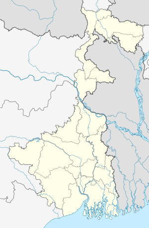 Taherpur  Taherpur Location in West Bengal, India | |
| Coordinates: 23°11′N 88°35′E / 23.18°N 88.58°ECoordinates: 23°11′N 88°35′E / 23.18°N 88.58°E | |
| Country |
|
| State | West Bengal |
| District | Nadia |
| Population (2001) | |
| • Total | 20,060 |
| Languages | |
| • Official | Bengali, English |
| Time zone | IST (UTC+5:30) |
| Vehicle registration | WB |
| Lok Sabha constituency | Ranaghat |
| Vidhan Sabha constituency | Ranaghat Uttar Paschim |
| Website |
wb |
Taherpur is a city and a notified area under Taherpur police station in Nadia district in the Indian state of West Bengal.[1]
Geography
Nadia district is mostly alluvial plains lying to the east of Hooghly River, locally known as Bhagirathi. The alluvial plains are cut across by such distributaries as Jalangi, Churni and Ichhamati. With these rivers getting silted up, floods are a recurring feature.[2]
Demographics
As of 2001 India census,[3] Taherpur had a population of 20,060. Males constitute 51% of the population and females 49%. Taherpur has an average literacy rate of 80%, higher than the national average of 59.5%: male literacy is 84%, and female literacy is 76%. In Taherpur, 9% of the population is under 6 years of age.
Places to See
Old & New Church at Christian Para, Picnic Garden in E Block, Dashami Mela at Thaerpur Netaji high school ground, All Bengal Cricket Tournament organised by Netaji Subhas Sangha, All Bengal Night Football Tournament By Tarun Shangha.
References
- ↑ "District Wise List of Statutory Towns". Census of India 2001, Urban Frame. Directorate of Census Operations, West Bengal. Archived from the original on 2007-09-27. Retrieved 2007-10-06.
- ↑ Gangopadhyay, Basudev, Paschimbanga Parichay, 2001, (Bengali), p. 70, Sishu Sahitya Sansad
- ↑ "Census of India 2001: Data from the 2001 Census, including cities, villages and towns (Provisional)". Census Commission of India. Archived from the original on 2004-06-16. Retrieved 2008-11-01.
Cities, towns and locations in Nadia District | |||||||||||||||
|---|---|---|---|---|---|---|---|---|---|---|---|---|---|---|---|
| Cities, municipal and census towns |
| ||||||||||||||
| Locations other than cities and towns | |||||||||||||||
| Related topics |
| ||||||||||||||