Tauhoa
| Tauhoa | |
|---|---|
 Tauhoa | |
| Coordinates: 36°22′38″S 174°27′8″E / 36.37722°S 174.45222°ECoordinates: 36°22′38″S 174°27′8″E / 36.37722°S 174.45222°E | |
| Country | New Zealand |
| Region | Auckland Region |
| District | Rodney District |
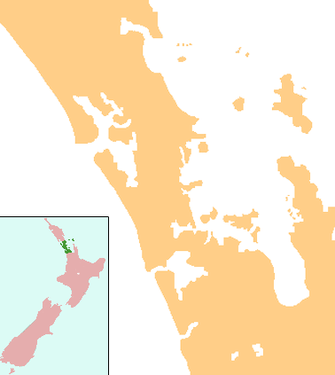
Tauhoa is a locality in the Rodney District of New Zealand. State Highway 16 runs through it, connecting to Wellsford 15 km to the north-east and Glorit 12 km to the south. Te Pahi Stream flows through the area and into the Tauhoa River, which drains into the southern Kaipara Harbour to the west.[1][2]
History
The Tauhoa block, together with the Hoteo block inland of it, together comprising 41,400 acres (16,800 ha), were purchased from the Māori chief Te Keene and others in March 1867. Land at Tauhoa was first offered for sale to settlers in 1868, but in 1875 some of the land was still being surveyed for future settlement.[3] Some of the land occupied by settlers in the 1870s was abandoned in the 1880s.[4]
A tramway operated during the 1880s to bring kauri logs down to Te Pahi Stream, where sailing ships could take them away. The barque Mary Mildred was stranded and wrecked in the Tauhoa River with a load of kauri. The small steamer S.S. Mary Allen was built at Tauhoa and transported goods between Te Pahi Creek and the northern Wairoa River in the early 1880s.[5]
A Highway Board operated in the area from 1876 to 1906.[6] A road north to Port Albert was described as "a good summer road" in 1880. By 1886, a route south to Kaukapakapa was complete and bridged, but was still impassable in winter. A small portion of the road at Tauhoa was metalled in 1899.[7] In the late 1920s, the road from Tauhoa to the railway station at Hoteo was designated a highway, and metalled. Other roads in the area were mostly metalled by the mid-1930s.[8]
Gum-diggers were active in the area up before 1910.[9]
Education
Tauhoa School is a coeducational full primary (years 1-8) school with a decile rating of 7 and a roll of 53.[10] The school celebrated its 125th jubilee in 2004.[11]
Notes
- ↑ Peter Dowling (editor) (2004). Reed New Zealand Atlas. Reed Books. pp. map 11. ISBN 0-7900-0952-8.
- ↑ Roger Smith, GeographX (2005). The Geographic Atlas of New Zealand. Robbie Burton. pp. map 31. ISBN 1-877333-20-4.
- ↑ Ryburn, Wayne (1999). Tall Spars, Steamers & Gum. p. 26. ISBN 0-473-06176-7.
- ↑ Ryburn, p 87
- ↑ Ryburn, pp 50, 112, 138. Ryburn says the steamer was operating in 1881 on page 50, but also says it was constructed in 1884 on page 138.
- ↑ Ryburn, pp 37, 187
- ↑ Ryburn, pp 87-89
- ↑ Ryburn, p 189
- ↑ Ryburn, pp 131, 201
- ↑ "Te Kete Ipurangi - Tauhoa School". Ministry of Education.
- ↑ "Tauhoa School 125th Jubilee". Education Gazette New Zealand. 83 (8). 10 May 2004.