Teepee Airport
| Teepee Airport | |||||||||||
|---|---|---|---|---|---|---|---|---|---|---|---|
| IATA: none – ICAO: none – TC LID: CFM6 | |||||||||||
| Summary | |||||||||||
| Airport type | Public | ||||||||||
| Operator | Alberta Environment and Sustainable Resource Development Wildlife Management Branch, Slave Lake WMA | ||||||||||
| Location | Teepee, Alberta | ||||||||||
| Time zone | MST (UTC−07:00) | ||||||||||
| • Summer (DST) | MDT (UTC−06:00) | ||||||||||
| Elevation AMSL | 2,565 ft / 782 m | ||||||||||
| Coordinates | 56°27′34″N 114°07′09″W / 56.45944°N 114.11917°WCoordinates: 56°27′34″N 114°07′09″W / 56.45944°N 114.11917°W | ||||||||||
| Map | |||||||||||
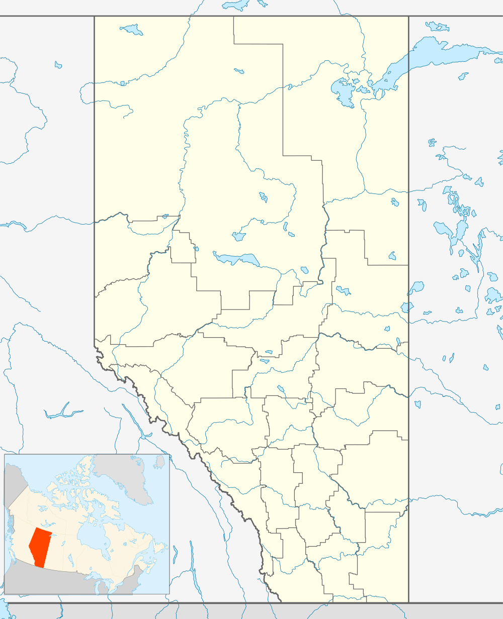 CFM6 Location in Alberta | |||||||||||
| Runways | |||||||||||
| |||||||||||
|
Sources: Canada Flight Supplement[1] | |||||||||||
Teepee Airport, (TC LID: CFM6), is in Teepee, Alberta, Canada.
References
- ↑ Canada Flight Supplement. Effective 0901Z 15 September 2016 to 0901Z 10 November 2016
| By name | |
|---|---|
| By location indicator | |
| By province/territory | |
| By region | |
| National Airports System | |
| Related | |
| |
This article is issued from Wikipedia - version of the 12/4/2016. The text is available under the Creative Commons Attribution/Share Alike but additional terms may apply for the media files.